Shyngyrlau
Шыңғырлау | |
|---|---|
District | |
| Шыңғырлау ауданы | |
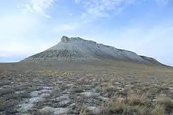 Mt Toryatbas | |
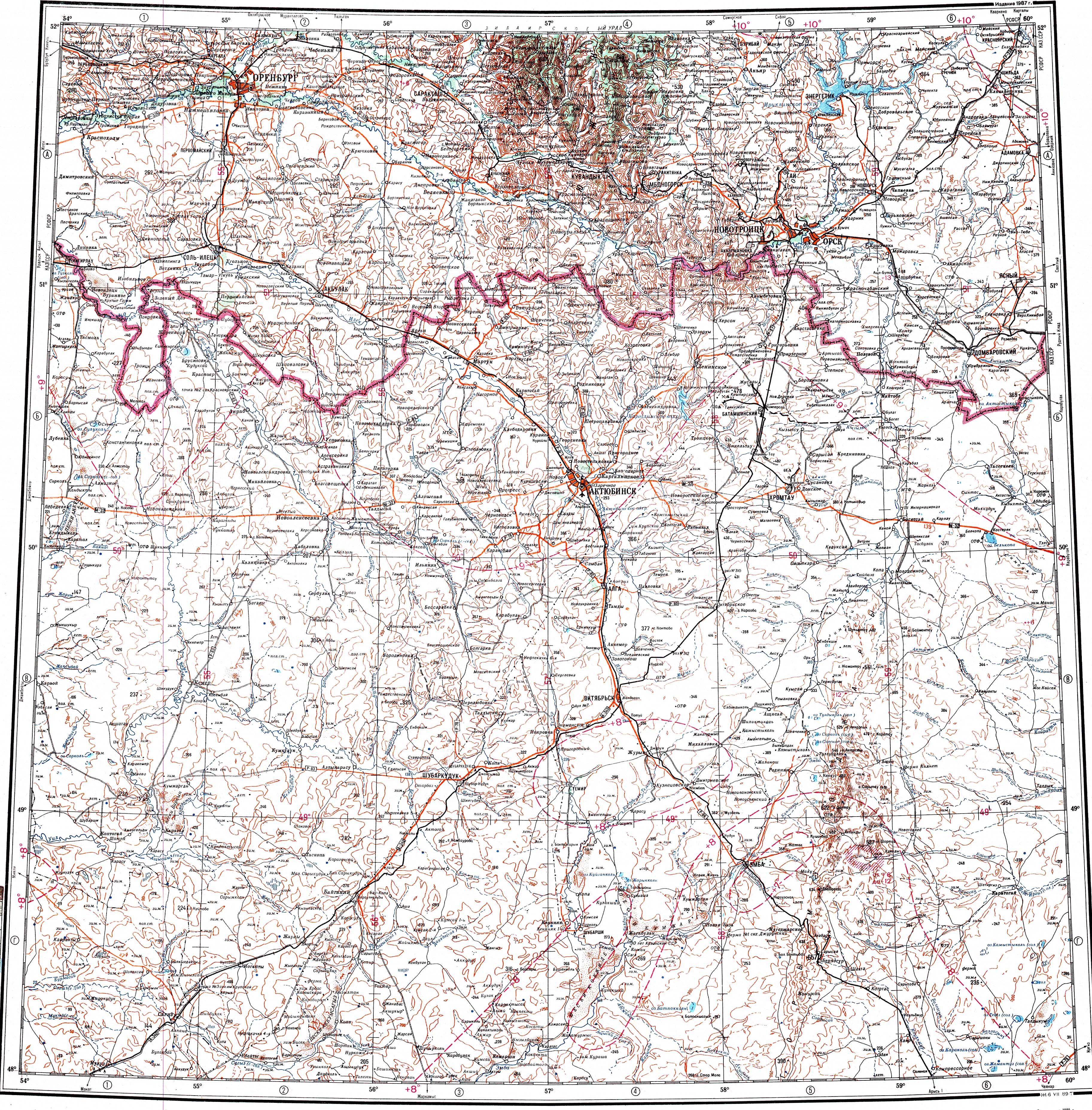
 Location of Shyngyrlau District in Kazakhstan | |
| Country | |
| Region | West Kazakhstan Region |
| Administrative center | Shyngyrlau |
| Government | |
| • Akim | Murat Umraleev[1] |
| Population (2013)[2] | |
| • Total | 15,304 |
| Time zone | UTC+5 (West) |
Shyngyrlau (Kazakh: Шыңғырлау ауданы, Şyñğyrlau audany) is a district of West Kazakhstan Region in western Kazakhstan. The administrative center of the district is the selo of Shyngyrlau.[3] Population: 15,304 (2013 estimate);[2] 16,116 (2009 Census results);[4] 21,799 (1999 Census results).[4]
Geography
The Utva, Ilek, Buldyrty and Kaldygaity are some of the main rivers of the Ural basin that flow across the territory of the district.[5][6]
References
- ↑ "Мурат Умралеев назначен акимом Шынгырлауского района ЗКО". www.inform.kz (in Russian). 2023-05-04.
- 1 2 "Население Республики Казахстан" (in Russian). Департамент социальной и демографической статистики. Retrieved 27 December 2013.
- ↑ www.geonames.de Subdivisions of Kazakhstan in local languages
- 1 2 "Население Республики Казахстан" [Population of the Republic of Kazakhstan] (in Russian). Департамент социальной и демографической статистики. Retrieved 8 December 2013.
- ↑ "M-40 Topographic Chart (in Russian)". Retrieved 23 February 2023.
- ↑ Google Earth
Capital: Oral | ||
| Districts |  | |
| Major cities and towns | ||
50°40′48″N 53°55′12″E / 50.68000°N 53.92000°E
This article is issued from Wikipedia. The text is licensed under Creative Commons - Attribution - Sharealike. Additional terms may apply for the media files.