| Demeljoch | |
|---|---|
 Demeljoch from the North (from left to right: Zotenjoch, Demeljoch, and Dürrnbergjoch) | |
| Highest point | |
| Elevation | 1,924 m (6,312 ft) |
| Isolation | 2.8 km (1.7 mi) |
| Geography | |
| Location | Bavaria, Germany and Tyrol, Austria |
The Demeljoch (1,924 m) is a mountain at the border between Bavaria, Germany, and Tyrol, Austria. The summit can be reached through a hiking trail starting near the easternmost point of the Sylvensteinsee.
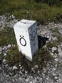 Boundary marker on the Demeljoch, at the border between Austria and Germany. The "Ö" stands for "Österreich", i.e. Austria in German.
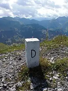 Same boundary marker on the other side. The "D" stands for "Deutschland", i.e. Germany in German.
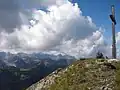 Summit cross on the Demeljoch, with, in the background, the view towards the west.
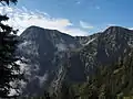 Demeljoch (left) and Dürnbergjoch (right) from the north.
This article is issued from Wikipedia. The text is licensed under Creative Commons - Attribution - Sharealike. Additional terms may apply for the media files.