Ichtershausen | |
|---|---|
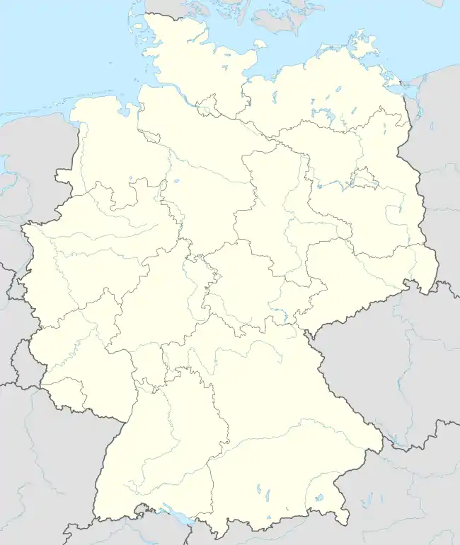
Location of Ichtershausen | |
 Ichtershausen  Ichtershausen | |
| Coordinates: 50°52′39″N 10°58′20″E / 50.87750°N 10.97222°E | |
| Country | Germany |
| State | Thuringia |
| District | Ilm-Kreis |
| Municipality | Amt Wachsenburg |
| Area | |
| • Total | 20.35 km2 (7.86 sq mi) |
| Elevation | 249 m (817 ft) |
| Population (2011-12-31) | |
| • Total | 3,890 |
| • Density | 190/km2 (500/sq mi) |
| Time zone | UTC+01:00 (CET) |
| • Summer (DST) | UTC+02:00 (CEST) |
| Postal codes | 99334 |
| Dialling codes | 03628 |
| Vehicle registration | IK |
| Website | www.ichtershausen.de |
Ichtershausen is a village and a former municipality in the district Ilm-Kreis, in Thuringia, Germany. Since 31 December 2012, it is part of the municipality Amt Wachsenburg.
References
This article is issued from Wikipedia. The text is licensed under Creative Commons - Attribution - Sharealike. Additional terms may apply for the media files.