| Mount Ishikari | |
|---|---|
| 石狩岳 | |
 seen from Nipesotsu-Maruyama Volcanic Group | |
| Highest point | |
| Elevation | 1,967 m (6,453 ft) |
| Listing | List of mountains and hills of Japan by height |
| Coordinates | 43°32′48″N 143°1′20″E / 43.54667°N 143.02222°E |
| Geography | |
| Parent range | Central Ishikari Mountains |
| Topo map | Geographical Survey Institute 25000:1 石狩岳 50000:1 石狩岳 |
| Geology | |
| Age of rock | Early Cretaceous-Middle Eocene |
| Volcanic arc/belt | Kurile Arc |
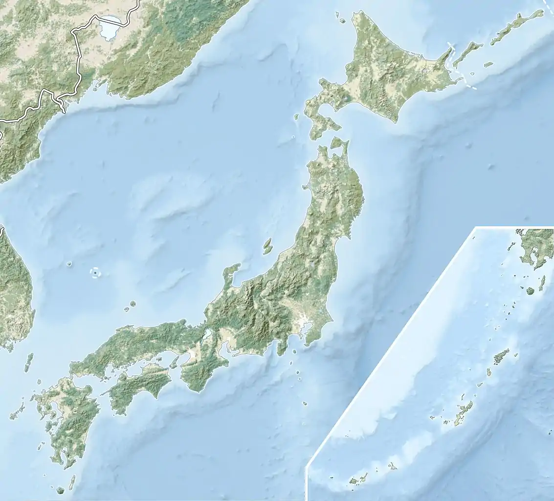

Mount Ishikari (石狩岳, Ishikari-dake) is part of the Ishikari Mountains, Hokkaidō, Japan. On its slopes are the head waters of the Ishikari River.
See also
References
- Hokkaido, Seamless Digital Geographical Map of Japan, Geological Survey of Japan, AIST (ed.). 2007.
This article is issued from Wikipedia. The text is licensed under Creative Commons - Attribution - Sharealike. Additional terms may apply for the media files.