Kraftsdorf | |
|---|---|
 Coat of arms | |
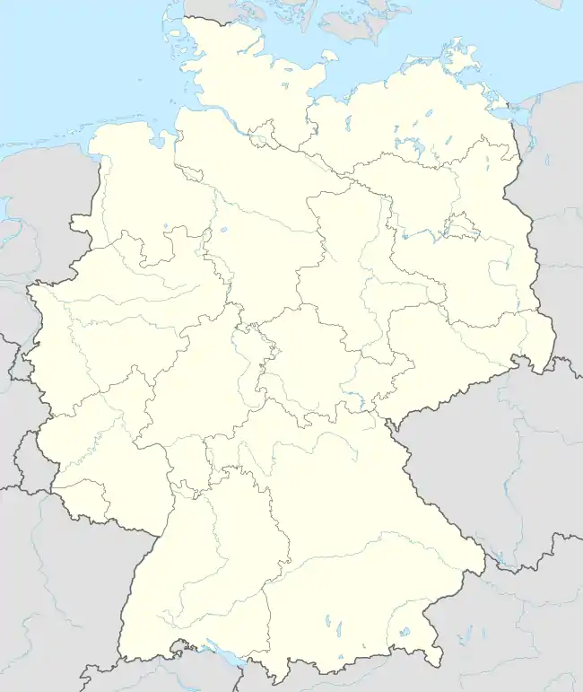
Location of Kraftsdorf within Greiz district  | |
 Kraftsdorf  Kraftsdorf | |
| Coordinates: 50°52′33″N 11°54′50″E / 50.87583°N 11.91389°E | |
| Country | Germany |
| State | Thuringia |
| District | Greiz |
| Government | |
| • Mayor (2021–27) | Bernd Becker[1] |
| Area | |
| • Total | 41.21 km2 (15.91 sq mi) |
| Elevation | 270 m (890 ft) |
| Population (2022-12-31)[2] | |
| • Total | 3,699 |
| • Density | 90/km2 (230/sq mi) |
| Time zone | UTC+01:00 (CET) |
| • Summer (DST) | UTC+02:00 (CEST) |
| Postal codes | 07586 |
| Dialling codes | 036606 |
| Vehicle registration | GRZ |
| Website | www.kraftsdorf.de |
Kraftsdorf is a municipality in the district of Greiz, in Thuringia, Germany. It is dispersed in different municipal units with their sub-set of hamlets:
- Kraftsdorf
- Harpersdorf
- Kraftsdorf
- Oberndorf
- Niederndorf
- Kaltenborn
- Niederndorf
- Rüdersdorf
- Grüna
- Rüdersdorf (with Stübnitz)
- Töppeln
- Mühlsdorf
- Pörsdorf
- Töppeln
See also
 Media related to Kraftsdorf at Wikimedia Commons
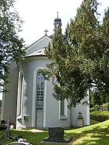
Church in Kraftsdorf
References
- ↑ Gewählte Bürgermeister - aktuelle Landesübersicht, Freistaat Thüringen, accessed 14 July 2021.
- ↑ "Bevölkerung der Gemeinden, erfüllenden Gemeinden und Verwaltungsgemeinschaften in Thüringen Gebietsstand: 31.12.2022" (in German). Thüringer Landesamt für Statistik. June 2023.
This article is issued from Wikipedia. The text is licensed under Creative Commons - Attribution - Sharealike. Additional terms may apply for the media files.