Tbaeng Meanchey
ត្បែងមានជ័យ | |
|---|---|
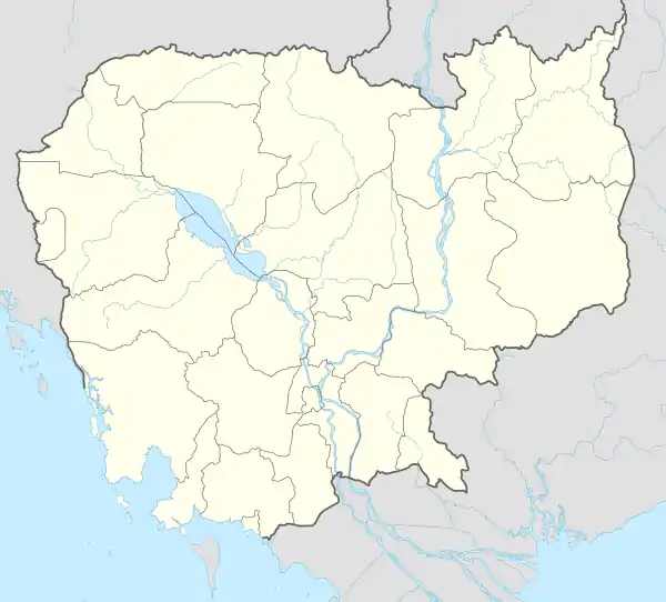 Tbaeng Meanchey Location in Cambodia | |
| Coordinates: 13°51′39″N 105°01′18″E / 13.8609°N 105.0216°E | |
| Country | Cambodia |
| Province | Preah Vihear |
| Communes | 4 |
| Villages | 12 |
| Population (2008)[1] | |
| • Total | 9,518 |
| Time zone | +7 |
| Geocode | 1307 |
Tbaeng Meanchey District (ត្បែងមានជ័យ, lit. 'Victorious Tbaeng Tree') is a district located in Preah Vihear Province, in northern Cambodia. According to the 1998 census of Cambodia, it consisted of six communes and had a population of 21,580.[2] In 2008–2009, two communes—Kampong Pranak and Pal Hal—formed a new district, the Preah Vihear Municipality;[3] according to the 2008 census, the population of the resulting four-commune district was 9,518.[1]
The following table shows the communes in the district as of 2020.[4]
| Code | Commune | Khmer |
|---|---|---|
| 130703 | Chhean Mukh | ឃុំឈានមុខ |
| 130704 | Pou | ឃុំពោធិ៍ |
| 130705 | Prame | ឃុំប្រមេរុ |
| 130706 | Preah Khleang | ឃុំព្រះឃ្លាំង |
References
- 1 2 "2008 Census – Tbaeng Mean Chey District". opendevelopmentcambodia.net. Open Development Cambodia. Retrieved 14 May 2020.
- ↑ "General Population Census of Cambodia 1998, Final Census Results" (PDF). National Institute of Statistics, Ministry of Planning, Cambodia. August 2002. p. 185. Retrieved 14 May 2020.
- ↑ "General Population Census of Cambodia 2008" (PDF). National Institute of Statistics. August 2009. p. 170. Retrieved 6 May 2020.
- ↑ "Cambodia Gazetteer Database Online". National Committee for Sub-National Democratic Development. Retrieved 14 May 2020.
Capital: Preah Vihear | ||
| Districts |  | |
| Autonomous municipality |
| ||
|---|---|---|---|
| Provinces | |||
This article is issued from Wikipedia. The text is licensed under Creative Commons - Attribution - Sharealike. Additional terms may apply for the media files.