Val-d'Étangson | |
|---|---|
 The church of Saint Martin | |
Location of Val-d'Étangson | |
 Val-d'Étangson 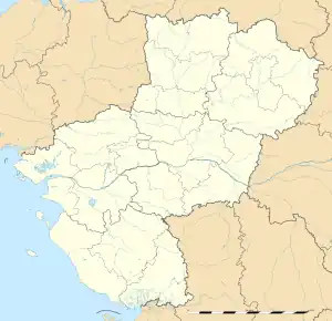 Val-d'Étangson | |
| Coordinates: 47°54′05″N 0°37′50″E / 47.9014°N 0.6306°E | |
| Country | France |
| Region | Pays de la Loire |
| Department | Sarthe |
| Arrondissement | Mamers |
| Canton | Saint-Calais |
| Intercommunality | Vallées de la Braye et de l'Anille |
| Government | |
| • Mayor (2020–2026) | Patrick Grémillon[1] |
| Area 1 | 31.31 km2 (12.09 sq mi) |
| Population | 522 |
| • Density | 17/km2 (43/sq mi) |
| Demonym(s) | Evaillléen, Evailléenne |
| Time zone | UTC+01:00 (CET) |
| • Summer (DST) | UTC+02:00 (CEST) |
| INSEE/Postal code | 72128 /72120 |
| Elevation | 94–167 m (308–548 ft) |
| 1 French Land Register data, which excludes lakes, ponds, glaciers > 1 km2 (0.386 sq mi or 247 acres) and river estuaries. | |
Val-d'Étangson (French pronunciation: [val detɑ̃sɔ̃]) is a commune in the Sarthe department in the Pays de la Loire region in north-western France. It was established on 1 January 2019 by merger of the former communes of Évaillé (the seat) and Sainte-Osmane.[3]
See also
References
- ↑ "Répertoire national des élus: les maires" (in French). data.gouv.fr, Plateforme ouverte des données publiques françaises. 13 September 2022.
- ↑ "Populations légales 2021". The National Institute of Statistics and Economic Studies. 28 December 2023.
- ↑ Arrêté préfectoral 13 September 2018 (in French)
Wikimedia Commons has media related to Val d'Étangson.
This article is issued from Wikipedia. The text is licensed under Creative Commons - Attribution - Sharealike. Additional terms may apply for the media files.