Šardice | |
|---|---|
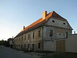 Bishop's residence | |
 Flag  Coat of arms | |
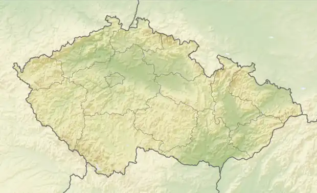 Šardice Location in the Czech Republic | |
| Coordinates: 48°57′51″N 17°1′41″E / 48.96417°N 17.02806°E | |
| Country | |
| Region | South Moravian |
| District | Hodonín |
| First mentioned | 1286 |
| Area | |
| • Total | 17.29 km2 (6.68 sq mi) |
| Elevation | 183 m (600 ft) |
| Population (2023-01-01)[1] | |
| • Total | 2,178 |
| • Density | 130/km2 (330/sq mi) |
| Time zone | UTC+1 (CET) |
| • Summer (DST) | UTC+2 (CEST) |
| Postal code | 696 13 |
| Website | www |
Šardice is a municipality and village in Hodonín District in the South Moravian Region of the Czech Republic. It has about 2,200 inhabitants.
Šardice lies approximately 15 kilometres (9 mi) north-west of Hodonín, 40 km (25 mi) south-east of Brno, and 226 km (140 mi) south-east of Prague.
References
Wikimedia Commons has media related to Šardice.
This article is issued from Wikipedia. The text is licensed under Creative Commons - Attribution - Sharealike. Additional terms may apply for the media files.