Barkuriha | |
|---|---|
Village | |
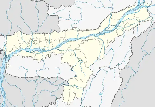 Barkuriha Map of Assam 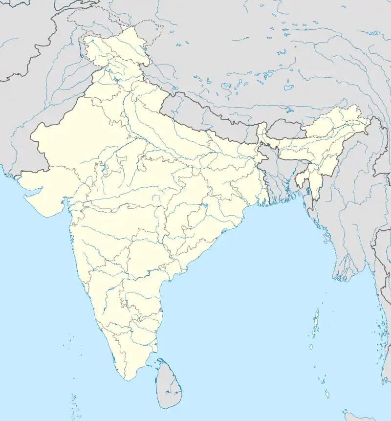 Barkuriha Barkuriha (India) | |
| Coordinates: 26°23′07″N 91°27′55″E / 26.3854°N 91.4652°E | |
| Country | |
| State | Assam |
| District | Nalbari |
| Gram panchayat | Marowa |
| Area | |
| • Total | 179.5 ha (443.6 acres) |
| Population (2011) | |
| • Total | 2,915 |
| • Density | 1,600/km2 (4,200/sq mi) |
| Languages | |
| • Official | Assamese |
| Time zone | UTC+5:30 (IST) |
| Postal code | 781348 [1] |
| STD Code | 03624 |
| Census code | 303864 |
Barkuriha is a village in Nalbari district, Assam, India. As per 2011 Census of India, Barkuriha has a population of 2915 people with a literacy rate of 90.39%.[2]
Barkuriha village had a history of militancy affected area.[3]
References
- ↑ "BARKURIHA Pin Code - 781348, Marowa All Post Office Areas PIN Codes, Search NALBARI Post Office Address". news.abplive.com. Retrieved 15 July 2022.
- ↑ "Barkuriha Population". indiagrowing.com. Retrieved 14 July 2022.
- ↑ Sanajaoba, Naorem (1994). Human Rights : Principles, Practices, & Abuses. Naorem Sanajaoba. New Delhi: Omsons Publications. p. 166. ISBN 9788171171408.
This article is issued from Wikipedia. The text is licensed under Creative Commons - Attribution - Sharealike. Additional terms may apply for the media files.