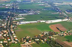
Beit El'azari
בֵּית אֶלְעָזָרִי | |
|---|---|
 | |
| Etymology: House of El'azari | |
 Beit El'azari 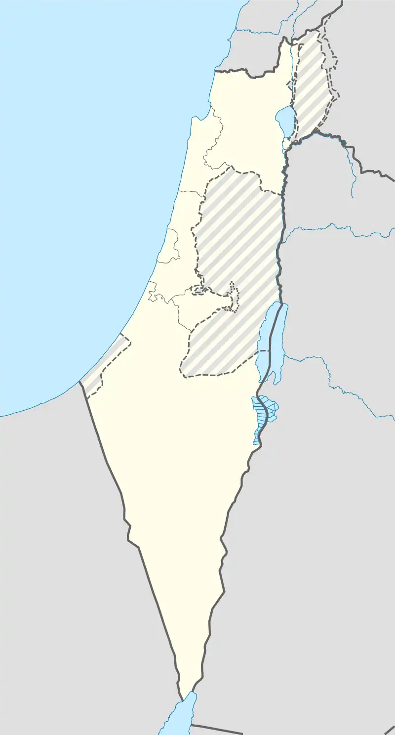 Beit El'azari | |
| Coordinates: 31°50′37″N 34°48′15″E / 31.84361°N 34.80417°E | |
| Country | |
| District | Central |
| Council | Brenner |
| Affiliation | Moshavim Movement |
| Founded | 1948 |
| Founded by | Eastern European immigrants |
| Population (2021)[1] | 1,576 |
| Website | www |
Beit El'azari (Hebrew: בֵּית אֶלְעָזָרִי, lit. House of El'azari; Arabic: بيت إلعزاري) is a moshav in central Israel. Located three miles south of the city of Rehovot, it falls under the jurisdiction of Brenner Regional Council. In 2021 it had a population of 1,576.[1]
History
It was founded in 1948 by Jewish immigrants from eastern Europe, on the site of the depopulated Palestinian village of al-Maghar.[2] Initially named Arugot (Hebrew: ערוגות), it was later renamed Ekron HaHadasha (Hebrew: עקרון החדשה, lit. New Ekron), and finally Beit El'azari in memory of the agronomist Yitzhak Elazari Volcani, founder of modern agriculture in Israel.[3]
Notable residents
See also
References
- 1 2 "Regional Statistics". Israel Central Bureau of Statistics. Retrieved 22 February 2023.
- ↑ Khalidi, Walid (1992). All That Remains: The Palestinian Villages Occupied and Depopulated by Israel in 1948. Washington D.C.: Institute for Palestine Studies. p. 395. ISBN 0-88728-224-5.
- ↑ Mapa's concise gazetteer of Israel (in Hebrew). Yuval El'azari (ed.). Tel-Aviv: Mapa Publishing. 2005. p. 64. ISBN 965-7184-34-7.
{{cite book}}: CS1 maint: others (link) - ↑ Avraham Zilberberg: Public Activities Knesset website
External links
- Moshav website (in Hebrew)
This article is issued from Wikipedia. The text is licensed under Creative Commons - Attribution - Sharealike. Additional terms may apply for the media files.