| Site of Special Scientific Interest | |
.jpg.webp) | |
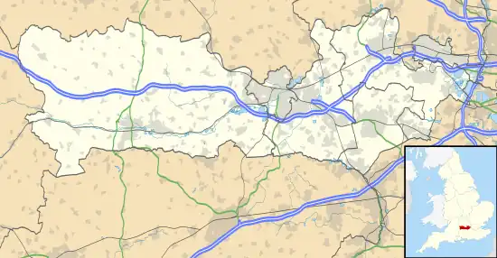
 Location within Berkshire | |
| Location | Berkshire |
|---|---|
| Grid reference | SU 428 718[1] |
| Coordinates | 51°26′38″N 1°23′10″W / 51.444°N 1.386°W |
| Interest | Biological |
| Area | 13.9 hectares (34 acres)[1] |
| Notification | 1986[1] |
| Location map | Magic Map |
Boxford Water Meadows is a 13.9-hectare (34-acre) biological Site of Special Scientific Interest in Boxford in Berkshire.[1][2] It is part of the Kennet & Lambourn Floodplain Special Area of Conservation.[3]
The site comprises disused water meadows and flood pastures in the valley of the River Lambourn. Recorded flora include seventeen species of grass, seven of sedge and seventy-six of grassland herb, some of which are characteristic of ancient meadows which have not been improved or disturbed, such as devil's-bit scabious, water avens and Blysmus compressus, which is an uncommon flat-sedge. There is also a diverse insect fauna.
The site is private land with no public access.
References
- 1 2 3 4 "Designated Sites View: Boxford Water Meadows". Sites of Special Scientific Interest. Natural England. Retrieved 13 January 2020.
- ↑ "Map of Boxford Water Meadows". Sites of Special Scientific Interest. Natural England. Retrieved 13 January 2020.
- ↑ "Designated Sites View: Kennet & Lambourn Floodplain". Special Areas of Conservation. Natural England. Retrieved 4 October 2019.
This article is issued from Wikipedia. The text is licensed under Creative Commons - Attribution - Sharealike. Additional terms may apply for the media files.