Brandov | |
|---|---|
 Panorama near Brandov | |
 Flag  Coat of arms | |
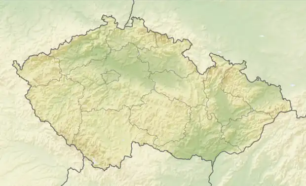 Brandov Location in the Czech Republic | |
| Coordinates: 50°37′56″N 13°23′27″E / 50.63222°N 13.39083°E | |
| Country | |
| Region | Ústí nad Labem |
| District | Most |
| First mentioned | 1549 |
| Area | |
| • Total | 12.30 km2 (4.75 sq mi) |
| Elevation | 543 m (1,781 ft) |
| Population (2023-01-01)[1] | |
| • Total | 275 |
| • Density | 22/km2 (58/sq mi) |
| Time zone | UTC+1 (CET) |
| • Summer (DST) | UTC+2 (CEST) |
| Postal code | 435 47 |
| Website | www |
Brandov (German: Brandau) is a municipality and village in Most District in the Ústí nad Labem Region of the Czech Republic. It has about 300 inhabitants.
Brandov lies approximately 23 kilometres (14 mi) north-west of Most, 47 km (29 mi) west of Ústí nad Labem, and 96 km (60 mi) north-west of Prague.
Gallery
 Church of Saint Michael the Archangel
 Municipal office
References
Wikimedia Commons has media related to Brandov.
This article is issued from Wikipedia. The text is licensed under Creative Commons - Attribution - Sharealike. Additional terms may apply for the media files.