| Buckskin Range | |
|---|---|
| Highest point | |
| Elevation | 1,675 m (5,495 ft) |
| Geography | |
| Country | United States |
| State | Nevada |
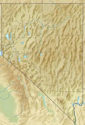
| District | Douglas County |
| Range coordinates | 38°59′29.693″N 119°21′52.573″W / 38.99158139°N 119.36460361°W |
| Topo map | USGS Artesia Lake |
The Buckskin Range is a mountain range in Douglas County, Nevada.[1]
References
- 1 2 "Buckskin Range". Geographic Names Information System. United States Geological Survey, United States Department of the Interior. Retrieved 2009-05-04.
This article is issued from Wikipedia. The text is licensed under Creative Commons - Attribution - Sharealike. Additional terms may apply for the media files.