Cap Skirring | |
|---|---|
Town | |
 The beach stretching south towards the border to Guinea-Bissau | |
 Cap Skirring | |
| Coordinates: 12°21′N 16°43′W / 12.350°N 16.717°W | |
| Country | |
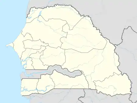
| Region | Basse Casamance (Ziguinchor) |
| Time zone | UTC+0 (GMT) |
Cap Skirring, also spelled Cap Skiring, is a town on the Atlantic Ocean coast of the Basse Casamance (Ziguinchor) region of Senegal, near the border of Guinea-Bissau. It is a popular seaside resort with Europeans and has an airport and a golf course. The town was first occupied by fishermen. It was discovered by the French of Ziguinchor as a recreational beach zone in the 1960s. A landing strip for small planes was built at the end of 1960 by members of the Aero Club de Ziguinchor.
Climate
| Climate data for Cap Skirring (Cap Skirring Airport) (1991–2020) | |||||||||||||
|---|---|---|---|---|---|---|---|---|---|---|---|---|---|
| Month | Jan | Feb | Mar | Apr | May | Jun | Jul | Aug | Sep | Oct | Nov | Dec | Year |
| Mean daily maximum °C (°F) | 31.8 (89.2) |
32.6 (90.7) |
31.9 (89.4) |
30.1 (86.2) |
30.0 (86.0) |
31.4 (88.5) |
30.9 (87.6) |
30.5 (86.9) |
31.2 (88.2) |
32.4 (90.3) |
32.8 (91.0) |
32.0 (89.6) |
31.5 (88.7) |
| Mean daily minimum °C (°F) | 17.9 (64.2) |
18.3 (64.9) |
19.0 (66.2) |
19.9 (67.8) |
21.9 (71.4) |
24.4 (75.9) |
24.5 (76.1) |
24.3 (75.7) |
23.8 (74.8) |
24.2 (75.6) |
22.3 (72.1) |
19.1 (66.4) |
21.6 (70.9) |
| Average precipitation mm (inches) | 0.2 (0.01) |
0.1 (0.00) |
0.0 (0.0) |
0.0 (0.0) |
3.2 (0.13) |
48.8 (1.92) |
308.7 (12.15) |
432.1 (17.01) |
318.3 (12.53) |
102.3 (4.03) |
2.3 (0.09) |
0.1 (0.00) |
1,216.1 (47.88) |
| Average precipitation days (≥ 1.0 mm) | 0.0 | 0.0 | 0.0 | 0.0 | 0.4 | 4.4 | 15.6 | 19.1 | 15.8 | 7.6 | 0.3 | 0.1 | 63.3 |
| Source: NOAA[1] | |||||||||||||
References
- ↑ "World Meteorological Organization Climate Normals for 1991-2020 — Cap Skirring". National Oceanic and Atmospheric Administration. Retrieved January 9, 2024.
12°21′N 16°43′W / 12.350°N 16.717°W
This article is issued from Wikipedia. The text is licensed under Creative Commons - Attribution - Sharealike. Additional terms may apply for the media files.