| Druim Fada | |
|---|---|
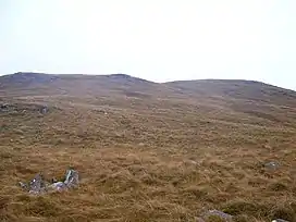 Grassy Moorland below the ridge of Druim Fada | |
| Highest point | |
| Elevation | 744 m (2,441 ft)[1] |
| Prominence | 516 m (1,693 ft) |
| Listing | Graham, Marilyn |
| Coordinates | 56°53′35″N 5°08′31″W / 56.893°N 5.142°W |
| Geography | |
| Location | Lochaber, Scotland |
| Parent range | Northwest Highlands |
| OS grid | NN087823 |
| Topo map | OS Landranger 41 |
Druim Fada (744 m) is a mountain in the Northwest Highlands of Scotland. It lies on the northern shore of Loch Eil in Lochaber, near the village of Corpach.
Taking the form of a long ridge running east to west, the peak is mostly grassy in nature although it has a number of shallow corries on its northern side. Its summit is known as Stob a' Ghrianain.[2]
References
- ↑ "Druim Fada". hillbagging.co.uk. Retrieved 19 May 2019.
- ↑ "walkhighlands Druim Fada". walkhighlands.co.uk. Retrieved 19 May 2019.
This article is issued from Wikipedia. The text is licensed under Creative Commons - Attribution - Sharealike. Additional terms may apply for the media files.