Elbersdorf | |
|---|---|
 Coat of arms | |
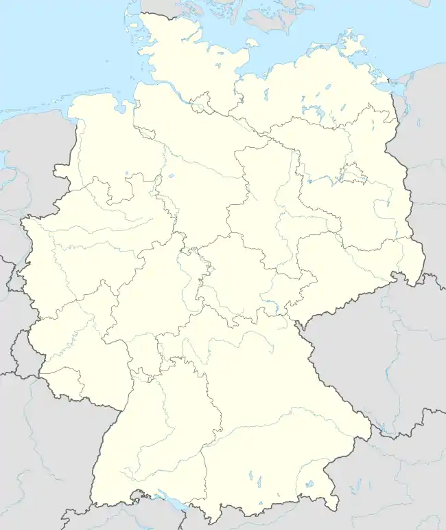
Location of Elbersdorf | |
 Elbersdorf  Elbersdorf | |
| Coordinates: 51°01′25″N 13°59′20″E / 51.02361°N 13.98889°E | |
| Country | Germany |
| State | Saxony |
| District | Sächsische Schweiz-Osterzgebirge |
| Municipality | Dürrröhrsdorf-Dittersbach |
| Area | |
| • Total | 2.60 km2 (1.00 sq mi) |
| Elevation | 250 m (820 ft) |
| Population (2011) | |
| • Total | 370 |
| • Density | 140/km2 (370/sq mi) |
| Time zone | UTC+01:00 (CET) |
| • Summer (DST) | UTC+02:00 (CEST) |
| Postal codes | 01833 |
| Dialling codes | 035026 |
| Vehicle registration | PIR |
| Website | |
Elbersdorf is a village in the municipality Dürrröhrsdorf-Dittersbach, in the landkreis Sächsische Schweiz-Osterzgebirge, in Saxony, Germany. The village is near the river Wesenitz and is known for the Belvedere Schöne Höhe: a castle on the top of the hill of the village. Formerly an independent municipality, it was absorbed into Porschendorf in 1969, and with Porschendorf into Dürrröhrsdorf-Dittersbach in 1994.[1]

village: Elbersdorf

Belvedere Schöne Höhe
References
- ↑ Elbersdorf in the Digital Historic Index of Places in Saxony (Digitales Historisches Ortsverzeichnis von Sachsen)
This article is issued from Wikipedia. The text is licensed under Creative Commons - Attribution - Sharealike. Additional terms may apply for the media files.