Hosenfeld | |
|---|---|
 Coat of arms | |
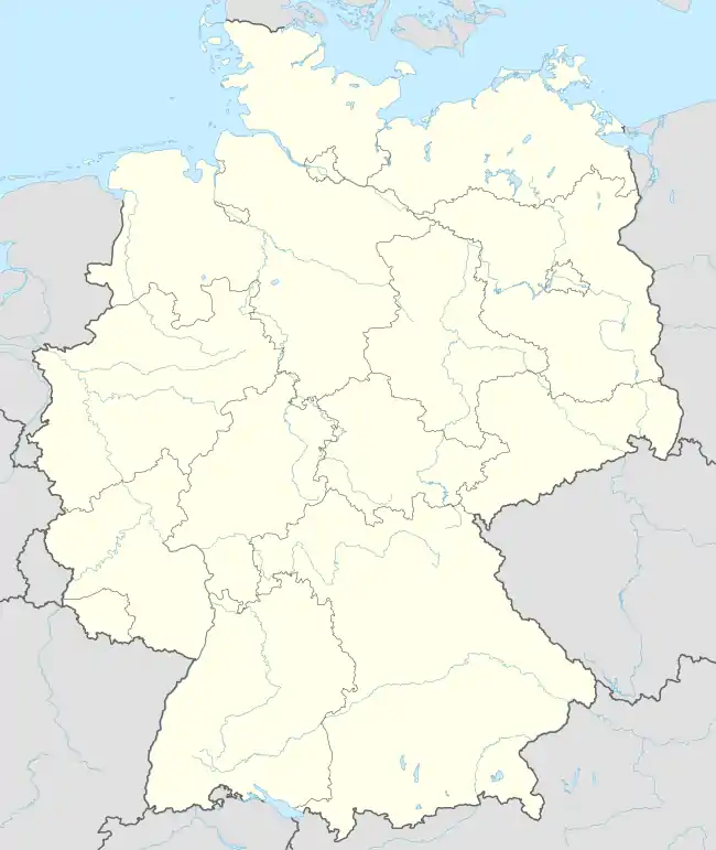
Location of Hosenfeld within Fulda district  | |
 Hosenfeld  Hosenfeld | |
| Coordinates: 50°31′N 09°29′E / 50.517°N 9.483°E | |
| Country | Germany |
| State | Hesse |
| Admin. region | Kassel |
| District | Fulda |
| Government | |
| • Mayor (2019–25) | Peter Malolepszy[1] |
| Area | |
| • Total | 50.71 km2 (19.58 sq mi) |
| Highest elevation | 496 m (1,627 ft) |
| Lowest elevation | 270 m (890 ft) |
| Population (2022-12-31)[2] | |
| • Total | 4,593 |
| • Density | 91/km2 (230/sq mi) |
| Time zone | UTC+01:00 (CET) |
| • Summer (DST) | UTC+02:00 (CEST) |
| Postal codes | 36154 |
| Dialling codes | 06650 |
| Vehicle registration | FD |
| Website | www.gemeinde-hosenfeld.de |
Hosenfeld is a municipality in the district of Fulda, in Hesse, Germany.
References
- ↑ "Ergebnisse der letzten Direktwahl aller hessischen Landkreise und Gemeinden" (XLS) (in German). Hessisches Statistisches Landesamt. 5 September 2022.
- ↑ "Bevölkerung in Hessen am 31.12.2022 nach Gemeinden" (XLS) (in German). Hessisches Statistisches Landesamt. June 2023.
Towns and municipalities in Fulda district | ||
|---|---|---|
Wappen des Landkreises Fulda | ||
This article is issued from Wikipedia. The text is licensed under Creative Commons - Attribution - Sharealike. Additional terms may apply for the media files.