Jeřmanice | |
|---|---|
 Church of Saint Anne in the centre of Jeřmanice | |
 Flag  Coat of arms | |
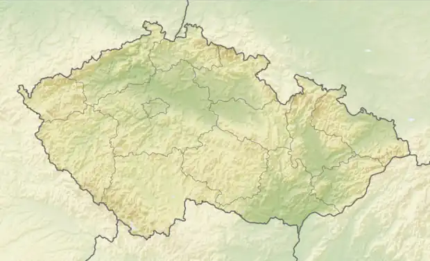 Jeřmanice Location in the Czech Republic | |
| Coordinates: 50°41′59″N 15°5′38″E / 50.69972°N 15.09389°E | |
| Country | |
| Region | Liberec |
| District | Liberec |
| First mentioned | 1543 |
| Area | |
| • Total | 4.38 km2 (1.69 sq mi) |
| Elevation | 456 m (1,496 ft) |
| Population (2023-01-01)[1] | |
| • Total | 612 |
| • Density | 140/km2 (360/sq mi) |
| Time zone | UTC+1 (CET) |
| • Summer (DST) | UTC+2 (CEST) |
| Postal code | 463 12 |
| Website | www |
Jeřmanice (German: Hermannsthal) is a municipality and village in Liberec District in the Liberec Region of the Czech Republic. It has about 600 inhabitants.
History
The first written mention of Jeřmanice is from 1543.[2]
Transport
The R35 expressway (part of the European route E442) runs through the municipality.
Jeřmanice is located on the railway line from Liberec to Pardubice.
References
- ↑ "Population of Municipalities – 1 January 2023". Czech Statistical Office. 2023-05-23.
- ↑ "Historie obce" (in Czech). Obec Jeřmanice. Retrieved 2022-04-08.
External links
Wikimedia Commons has media related to Jeřmanice.
This article is issued from Wikipedia. The text is licensed under Creative Commons - Attribution - Sharealike. Additional terms may apply for the media files.