Jhumpura | |
|---|---|
City | |
 Jhumpura Location in Odisha, India 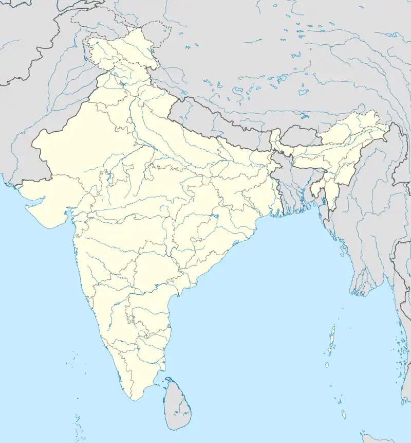 Jhumpura Jhumpura (India) | |
| Coordinates: 21°51′58″N 85°33′25″E / 21.866°N 85.557°E | |
| Country | |
| State | Odisha |
| District | Kendujhar |
| Population (2017) | |
| • Total | 16,064 |
| Languages | |
| • Official | Odia |
| • Other local language | Ho |
| Time zone | UTC+5:30 (IST) |
| Vehicle registration | OD 09 |
| Website | odisha |
Jhumpura is a census town and a block in Kendujhar district in the Indian state of Odisha.
Demographics
As of 2017 India census,[1] Jhumpura had a population of 16,064. Males constitute 52% of the population and females 48%. Jhumpura has an average literacy rate of 82.73%, higher than the national average of 72.87%: male literacy is 88.31%, and female literacy is 76.72%. In Jhumpura, 13% of the population is under 6 years of age.
Educational institutions
- Green Field School
- P.S. College, Jhumpura
- P.S High School
- Kerala English Medium School
- Misbha English Medium School
- Saraswati Sishu Mandir
- Jhumpura Maktab
Transport
By road
- Jhumpura is well connected by Road. NH-20 (Formerly 215) passes through the town.
- Regular bus service with major cities like Kendujhar (20 km), Barbil (38 km), Bhubaneswar, Cuttack, Rourkela, Kolkata.
By rail
- Nearest Railway station is Porjanpur railway station, 11 km from town.
- Barbil-Puri express (Daily) and Puri-Chakradharapur (Daily), Tata-Visakhapatnam express (weekly) pass through the station.
By air
- Nearest airport is Bhubaneswar (245 km).
References
- ↑ "Census of India 2011: Data from the 2011Census, including cities, villages and towns (Provisional)". Census Commission of India. Archived from the original on 16 June 2004. Retrieved 1 November 2008.
This article is issued from Wikipedia. The text is licensed under Creative Commons - Attribution - Sharealike. Additional terms may apply for the media files.