Kalya
| |
|---|---|
| Kata ya Kalya, Wilaya ya Uvinza | |
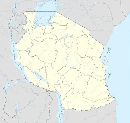 Kalya Location of Kalya | |
| Coordinates: 6°28′20.28″S 30°0′41.76″E / 6.4723000°S 30.0116000°E | |
| Country | |
| Region | Kigoma Region |
| District | Uvinza District |
| Area | |
| • Total | 534.5 km2 (206.4 sq mi) |
| Elevation | 822 m (2,697 ft) |
| Population | |
| • Total | 24,751 |
| • Density | 46/km2 (120/sq mi) |
| Tanzanian Postal Code | 47605 |
Kalya is an administrative ward in Uvinza District of Kigoma Region in Tanzania. The ward covers an area of 534.5 km2 (206.4 sq mi),[2] and has an average elevation of 822 m (2,697 ft).[3] In 2016 the Tanzania National Bureau of Statistics report there were 24,751 people in the ward, from 22,486 in 2012.[1]: 127 [4]: 151 [5]
Villages / neighborhoods
The ward has 3 villages and 18 hamlets.[5]
- Sibwesa
- Katobelo
- Mtakuja
- Songambele
- Tujitegemee
- Tupendane
- Kalya
- Kagwila
- Kankuba
- Kapama
- Katunka
- Mlela
- Tumbushe
- Kashughulu
- Kampisa
- Kisinsa
- Lufubu
- Mjimwema
- Mpanga
- Ubanda
- Ugalaba
References
- 1 2 2016 Makadirio ya Idadi ya Watu katika Majimbo ya Uchaguzi kwa Mwaka 2016, Tanzania Bara [Population Estimates in Administrative Areas for the Year 2016, Mainland Tanzania] (PDF) (Report) (in Swahili). Dar es Salaam, Tanzania: National Bureau of Statistics. 1 April 2016. Archived (PDF) from the original on 27 December 2021. Retrieved 3 July 2022.
- ↑ "Tanzania: Lake Zone Tanzania (Districts and Wards) – Population Statistics, Charts and Map".
- ↑ "Kalya Elevation".
- ↑ 2012 Population and Housing Census - Population Distribution by Administrative Areas (PDF) (Report). Dar es Salaam, Tanzania: National Bureau of Statistics. 1 March 2013. Archived (PDF) from the original on 26 March 2022. Retrieved 3 July 2022.
- 1 2 "Kagera Postcodes" (PDF). Dodoma, Tanzania: Tanzania Communications Regulatory Authority. Archived (PDF) from the original on 29 July 2022. Retrieved 13 August 2022.
This article is issued from Wikipedia. The text is licensed under Creative Commons - Attribution - Sharealike. Additional terms may apply for the media files.