Kamminke | |
|---|---|
 Thatched roofs in Kamminke | |
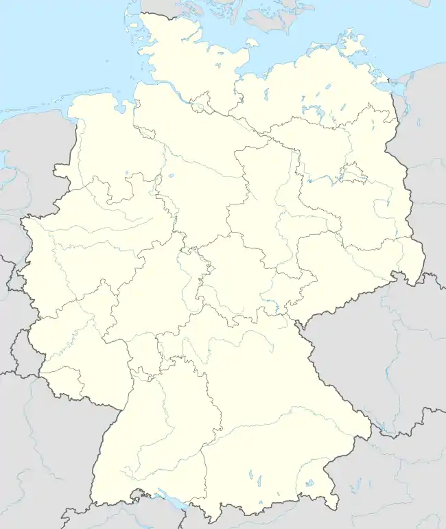
Location of Kamminke within Vorpommern-Greifswald district  | |
 Kamminke  Kamminke | |
| Coordinates: 53°52′N 14°12′E / 53.867°N 14.200°E | |
| Country | Germany |
| State | Mecklenburg-Vorpommern |
| District | Vorpommern-Greifswald |
| Municipal assoc. | Usedom-Süd |
| Government | |
| • Mayor | Uwe Hartmann |
| Area | |
| • Total | 2.96 km2 (1.14 sq mi) |
| Elevation | 2 m (7 ft) |
| Population (2021-12-31)[1] | |
| • Total | 247 |
| • Density | 83/km2 (220/sq mi) |
| Time zone | UTC+01:00 (CET) |
| • Summer (DST) | UTC+02:00 (CEST) |
| Postal codes | 17419 |
| Dialling codes | 038376 |
| Vehicle registration | VG |
Kamminke (German pronunciation: [kaˈmɪŋkə]) is a municipality in the Vorpommern-Greifswald district, in Mecklenburg-Vorpommern, Germany. It is right against the German-Polish border.
See also
References
- ↑ "Bevölkerungsstand der Kreise, Ämter und Gemeinden 2021" (XLS) (in German). Statistisches Amt Mecklenburg-Vorpommern. 2022.
External links
![]() Media related to Kamminke at Wikimedia Commons
Media related to Kamminke at Wikimedia Commons
This article is issued from Wikipedia. The text is licensed under Creative Commons - Attribution - Sharealike. Additional terms may apply for the media files.