Katrenikona | |
|---|---|
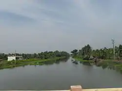 Godavari canal near Katrenikona | |
.svg.png.webp) Katrenikona Location in Andhra Pradesh, India 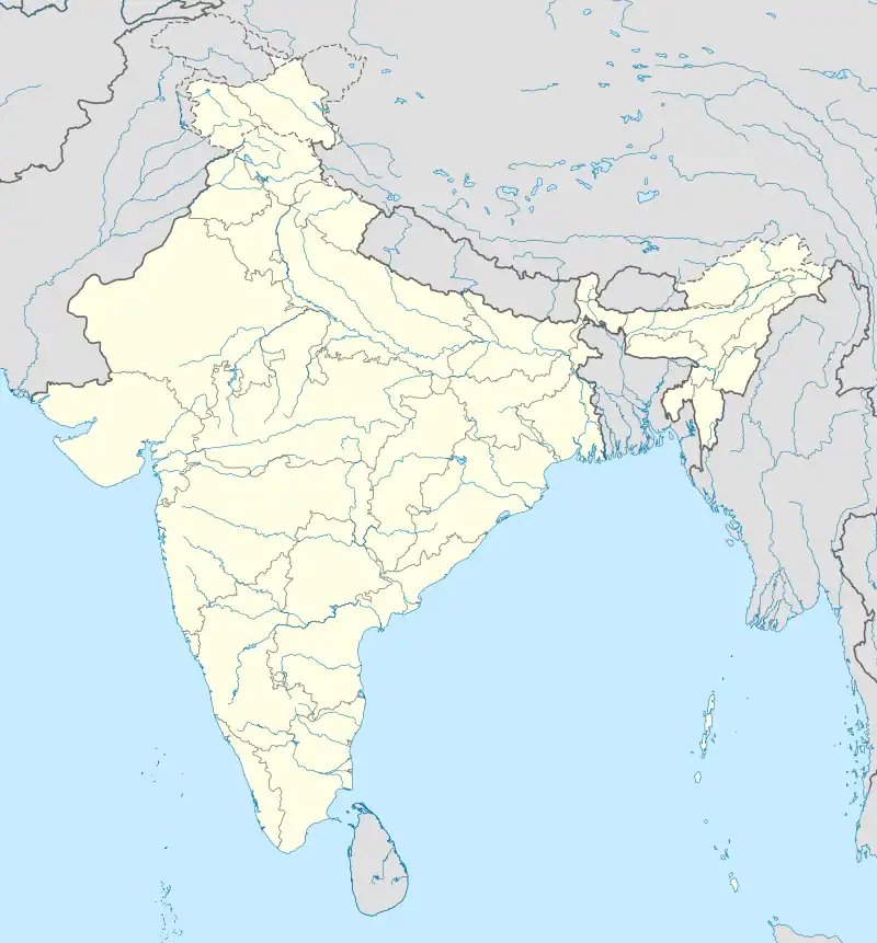 Katrenikona Katrenikona (India) | |
| Coordinates: 16°34′55″N 82°09′14″E / 16.5818377°N 82.153793°E | |
| Country | |
| State | Andhra Pradesh |
| District | Dr. B.R. Ambedkar Konaseema |
| Area | |
| • Total | 28.47 km2 (10.99 sq mi) |
| Population (2011)[1] | |
| • Total | 13,678 |
| • Density | 480/km2 (1,200/sq mi) |
| Languages | |
| • Official | Telugu |
| Time zone | UTC+5:30 (IST) |
| PIN | 533212 |
| Telephone code | 91- |
| Vehicle Registration | AP05 (Former) AP39 (from 30 January 2019)[2] |
Katrenikona is a village in Dr. B.R. Ambedkar Konaseema district of the Indian state of Andhra Pradesh. It is located in Katrenikona Mandal of Amalapuram revenue division of the district.[1][3]
References
- 1 2 3 "District Census Handbook – East Godavari" (PDF). Census of India. pp. 16, 558. Retrieved 4 April 2017.
- ↑ "New 'AP 39' code to register vehicles in Andhra Pradesh launched". The New Indian Express. Vijayawada. 31 January 2019. Archived from the original on 28 July 2019. Retrieved 9 June 2019.
- ↑ "Mandal wise list of villages in Srikakulam district" (PDF). Chief Commissioner of Land Administration. National Informatics Centre. Archived from the original (PDF) on 21 January 2015. Retrieved 7 March 2016.
This article is issued from Wikipedia. The text is licensed under Creative Commons - Attribution - Sharealike. Additional terms may apply for the media files.