Katzir
קָצִיר | |
|---|---|
 | |
 Katzir 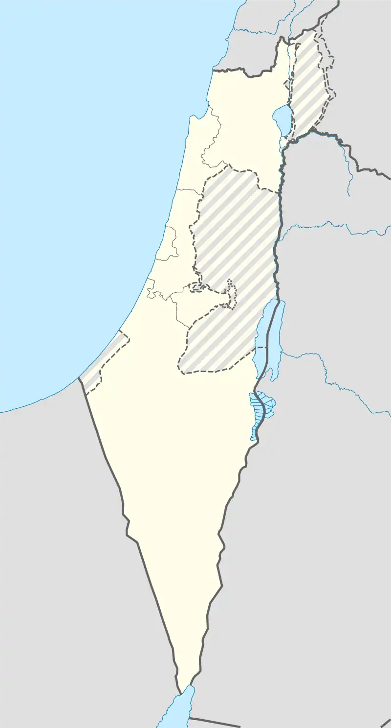 Katzir | |
| Coordinates: 32°29′17″N 35°06′07″E / 32.48806°N 35.10194°E | |
| Country | |
| District | Haifa |
| Council | Menashe |
| Founded | 1982 |
| Founded by | Hitahdut HaIkarim |
| Population (2021)[1] | 2,933 |
| Website | vaad-katzir.org.il |
Katzir (Hebrew: קָצִיר) is a community settlement in north-central Israel. Located south-west of Umm al-Fahm and close to the Green Line, it falls under the jurisdiction of Menashe Regional Council. In 2021 it had a population of 2,933.[1]
History
The village was established in 1982 by Hitahdut HaIkarim on land owned by the Jewish Agency, and was initially a community settlement. In 1993 it was merged with neighbouring Harish to form Katzir-Harish local council. However, in 2012 the two were separated, with Harish remaining a local council and Katzir reverting to the jurisdiction of Menashe Regional Council.
References
- 1 2 "Regional Statistics". Israel Central Bureau of Statistics. Retrieved 22 February 2023.
External links
This article is issued from Wikipedia. The text is licensed under Creative Commons - Attribution - Sharealike. Additional terms may apply for the media files.