Khanbal
Khanabal | |
|---|---|
town | |
 Khanbal Location in Jammu and Kashmir, India 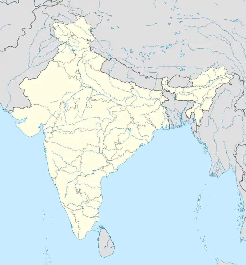 Khanbal Khanbal (India) | |
| Coordinates: 34°28′0″N 74°1′0″E / 34.46667°N 74.01667°E | |
| Country | |
| Union Territory | Jammu and Kashmir |
| District | Kupwara |
| Elevation | 2,083 m (6,834 ft) |
| Languages | |
| • Official | Kashmiri, Urdu, Hindi, Dogri, English[1][2] |
| Time zone | UTC+5:30 (IST) |
| PIN | 193224[3] |
| Coastline | 0 kilometres (0 mi) |
Khanbal is a town in Kupwara district, Jammu and Kashmir, India.
Geography
It is located at 34°28′0″N 74°1′0″E / 34.46667°N 74.01667°E at an elevation of 2083 m above MSL.[4]
Location
National Highway 1B ends at Khanbal.
References
- ↑ "The Jammu and Kashmir Official Languages Act, 2020" (PDF). The Gazette of India. 27 September 2020. Retrieved 27 September 2020.
- ↑ "Parliament passes JK Official Languages Bill, 2020". Rising Kashmir. 23 September 2020. Archived from the original on 24 September 2020. Retrieved 30 May 2021.
- ↑ "Pincode of Khanabal". Pin Codes. Retrieved 17 March 2020.
- ↑ http://www.fallingrain.com/world/IN/12/Khanbal.html Map and weather of Khanbal
External links
This article is issued from Wikipedia. The text is licensed under Creative Commons - Attribution - Sharealike. Additional terms may apply for the media files.