 Koch Island, Nunavut. | |
 Koch Island  Koch Island | |
| Geography | |
|---|---|
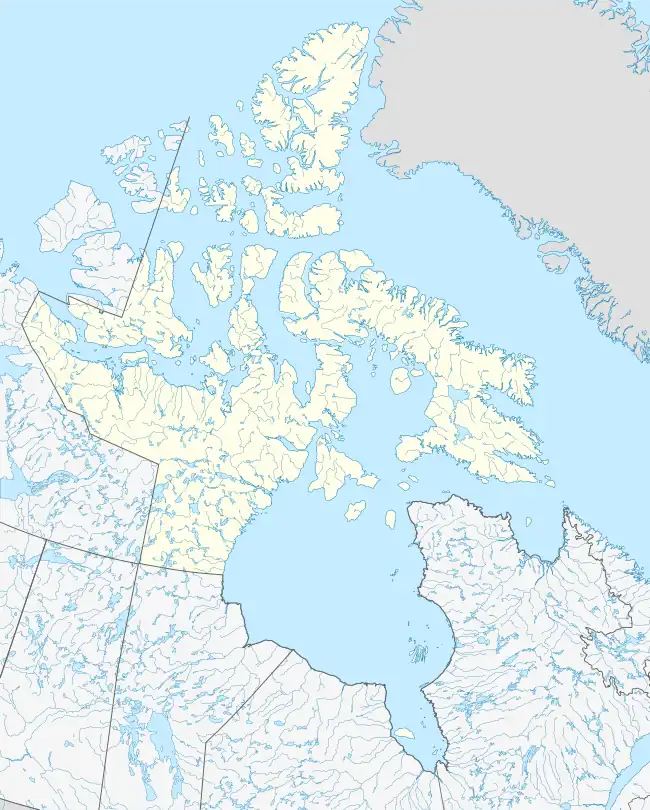
| Location | Foxe Basin |
| Coordinates | 69°38′N 78°20′W / 69.633°N 78.333°W |
| Archipelago | Arctic Archipelago |
| Area | 458 km2 (177 sq mi) |
| Administration | |
Canada | |
| Nunavut | Nunavut |
| Region | Qikiqtaaluk |
| Demographics | |
| Population | Uninhabited |
Koch Island is one of the Canadian Arctic islands in Qikiqtaaluk Region, Nunavut, Canada. Located in Foxe Basin, it is an uninhabited Baffin Island offshore island. Located at 69°38'N 78°20'W, it has an area of 458 km2 (177 sq mi).[1]
References
- ↑ "The Atlas of Canada – Sea Islands". Natural Resources Canada. Archived from the original on 2 July 2010. Retrieved 5 May 2011.
This article is issued from Wikipedia. The text is licensed under Creative Commons - Attribution - Sharealike. Additional terms may apply for the media files.