Krapum Chhuk
ឃុំក្រពុំឈូក | |
|---|---|
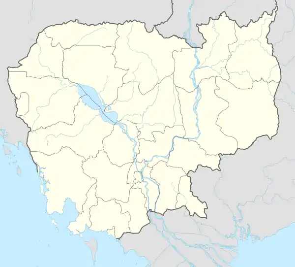
 Krapum Chhuk Location within Cambodia | |
| Coordinates: 10°42′49″N 104°56′07″E / 10.7136°N 104.9352°E | |
| Country | |
| Province | Takéo |
| District | Kaoh Andaet |
| Time zone | UTC+7 |
| Geocode | 210501 |
Krapum Chhuk Commune (Khmer: ឃុំក្រពុំឈូក) is a khum (commune) in Kaoh Andaet District, Takéo Province, Cambodia.
Administration
As of 2019, Krapum Chhuk Commune has 13 phums (villages) as follows.[1]
| No. | Code | Village | Khmer |
|---|---|---|---|
| 1 | 21050101 | Daeum Doung | ដើមដូង |
| 2 | 21050102 | Beng | បេង |
| 3 | 21050103 | Krapum Chhuk | ក្រពុំឈូក |
| 4 | 21050104 | Prey Mlu | ព្រៃម្លូ |
| 5 | 21050105 | Peani | ពាន្នី |
| 6 | 21050106 | Ta Por | តាពរ |
| 7 | 21050107 | Trapeang Ta Uy | ត្រពាំងតាអ៊ុយ |
| 8 | 21050108 | Kaoh Moan | កោះមាន់ |
| 9 | 21050109 | Voat Sla | វត្ដស្លា |
| 10 | 21050110 | Chrouy Poun | ជ្រោយពោន |
| 11 | 21050111 | Khla Krohuem Ka | ខ្លាគ្រហឹម ក |
| 12 | 21050112 | Khla Krohuem Kha | ខ្លាគ្រហឹម ខ |
| 13 | 21050113 | Trapeang Tonle | ត្រពាំងទន្លេ |
References
- ↑ "Cambodia Gazetteer Database Online". Cambodia NCDD Databases. National Committee for Sub-National Democratic Development (NCDD). 2019. Retrieved 2019-08-12.
This article is issued from Wikipedia. The text is licensed under Creative Commons - Attribution - Sharealike. Additional terms may apply for the media files.
