| Kuppe | |
|---|---|
 Kuppe | |
| Highest point | |
| Elevation | 729.1 m (2,392 ft)[1] |
| Prominence | 22 m ↓ Haus Sonnenberg |
| Isolation | 1.5 km → Rehberg |
| Coordinates | 51°43′36″N 10°30′31″E / 51.72667°N 10.50861°E |
| Geography | |
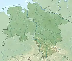
| Location | north of St. Andreasberg, Lower Saxony, Germany |
| Parent range | Harz Mountains |
The Kuppe is a mountain in the Harz that lies north of Sankt Andreasberg in the district of Goslar in the German state of Lower Saxony. It is 729.1 metres high[1] and is connected to the Jordanshöhe in the west.
References
This article is issued from Wikipedia. The text is licensed under Creative Commons - Attribution - Sharealike. Additional terms may apply for the media files.