| Lac des Toules | |
|---|---|
 | |
 Lac des Toules  Lac des Toules  Lac des Toules 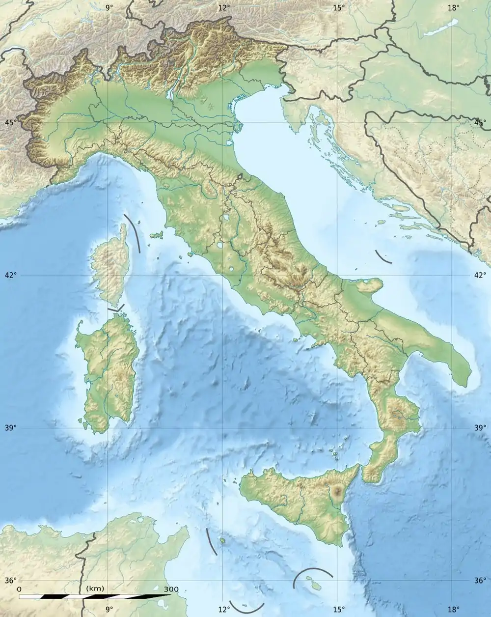 Lac des Toules 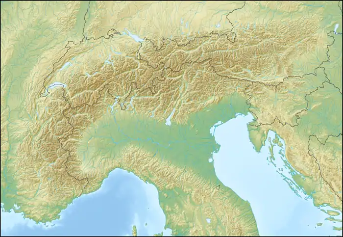 Lac des Toules | |
| Location | Valais |
| Coordinates | 45°55′9″N 7°11′56″E / 45.91917°N 7.19889°E |
| Type | reservoir |
| Primary inflows | La Dranse |
| Primary outflows | La Dranse d'Entremont |
| Catchment area | 37.6 km2 (14.5 sq mi) |
| Basin countries | Switzerland |
| Max. length | 2.0 km (1.2 mi) |
| Surface area | 0.61 km2 (0.24 sq mi) |
| Max. depth | 75 m (246 ft) |
| Water volume | 20.15 million cubic metres (16,340 acre⋅ft) |
| Surface elevation | 1,810 m (5,940 ft) |
Lac des Toules is a reservoir in Valais, Switzerland, at Bourg-Saint-Pierre. Its surface area is 0.61 km2 (0.24 sq mi). It has a €2.2 million floating solar plant that was flown in by helicopter in 2019, and delivers 800 MWh/year.[1]
The dam Les Toules was completed in 1963.
See also
References
- ↑ Katanich, Doloresz (2021-05-14). "Extraordinary views: This is the world's first mountainous solar farm". euronews. Archived from the original on 4 June 2021.
This article is issued from Wikipedia. The text is licensed under Creative Commons - Attribution - Sharealike. Additional terms may apply for the media files.