Lecarrow
An Leithcheathrú | |
|---|---|
Village | |
 | |
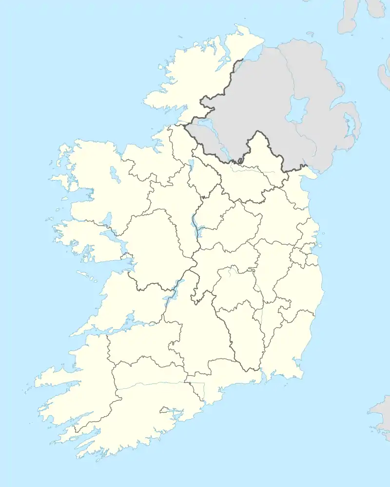 Lecarrow Location in Ireland | |
| Coordinates: 53°33′N 8°03′W / 53.55°N 8.05°W | |
| Country | Ireland |
| Province | Connacht |
| County | County Roscommon |
| Elevation | 74 m (243 ft) |
| Time zone | UTC+0 (WET) |
| • Summer (DST) | UTC-1 (IST (WEST)) |
| Irish Grid Reference | M967555 |
Lecarrow (Irish: An Leithcheathrú)[1] is a village in County Roscommon, Ireland. Situated 17 kilometres north-west of the town of Athlone on the N61 route between Athlone and Roscommon town. A navigable canal, the Lecarrow Canal, built in 1840, connects it to Lough Ree, the second-largest lake on the River Shannon.[2] Many of its residents commute to Athlone and Roscommon. It is the closest population centre to the Geographical centre of Ireland.
See also
References
- ↑ "An Leithcheathrú/Lecarrow". Placenames Database of Ireland (logainm.ie). Retrieved 14 October 2021.
- ↑ Bridie Mulloy, 'The canal long ago and to-day', Farmers Journal, June 1969
Places in County Roscommon | ||
|---|---|---|
| Towns |  | |
| Villages and Townlands |
| |
| ||
This article is issued from Wikipedia. The text is licensed under Creative Commons - Attribution - Sharealike. Additional terms may apply for the media files.