Les Brouzils | |
|---|---|
 A reconstructed refuge hut in the forest of Grasla | |
.svg.png.webp) Coat of arms | |
Location of Les Brouzils | |
 Les Brouzils 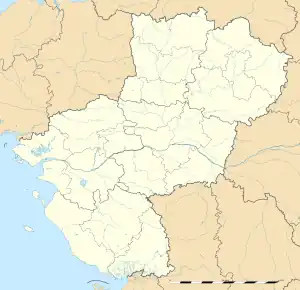 Les Brouzils | |
| Coordinates: 46°53′16″N 1°19′14″W / 46.8878°N 1.3206°W | |
| Country | France |
| Region | Pays de la Loire |
| Department | Vendée |
| Arrondissement | La Roche-sur-Yon |
| Canton | Montaigu-Vendée |
| Intercommunality | Pays de Saint-Fulgent - Les Essarts |
| Government | |
| • Mayor (2020–2026) | Émilie Duprey[1] |
| Area 1 | 41.25 km2 (15.93 sq mi) |
| Population | 2,914 |
| • Density | 71/km2 (180/sq mi) |
| Time zone | UTC+01:00 (CET) |
| • Summer (DST) | UTC+02:00 (CEST) |
| INSEE/Postal code | 85038 /85260 |
| Elevation | 37–78 m (121–256 ft) |
| 1 French Land Register data, which excludes lakes, ponds, glaciers > 1 km2 (0.386 sq mi or 247 acres) and river estuaries. | |
Les Brouzils (French pronunciation: [le bʁuzil]) is a commune in the Vendée department in the Pays de la Loire region in western France. Its coat of arms has a wolf, which symbolizes bravery.
Population
| Year | Pop. | ±% p.a. |
|---|---|---|
| 1968 | 1,931 | — |
| 1975 | 1,886 | −0.34% |
| 1982 | 1,845 | −0.31% |
| 1990 | 1,951 | +0.70% |
| 1999 | 2,031 | +0.45% |
| 2007 | 2,455 | +2.40% |
| 2012 | 2,666 | +1.66% |
| 2017 | 2,799 | +0.98% |
| Source: INSEE[3] | ||
See also
References
- ↑ "Répertoire national des élus: les maires" (in French). data.gouv.fr, Plateforme ouverte des données publiques françaises. 13 September 2022.
- ↑ "Populations légales 2021". The National Institute of Statistics and Economic Studies. 28 December 2023.
- ↑ Population en historique depuis 1968, INSEE
Wikimedia Commons has media related to Les Brouzils.
This article is issued from Wikipedia. The text is licensed under Creative Commons - Attribution - Sharealike. Additional terms may apply for the media files.