Lewitzrand | |
|---|---|
 Church in Klinken | |
Location of Lewitzrand within Ludwigslust-Parchim district 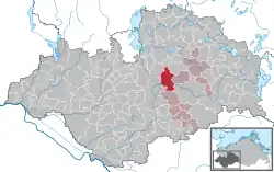 | |
 Lewitzrand  Lewitzrand | |
| Coordinates: 53°29′N 11°41′E / 53.483°N 11.683°E | |
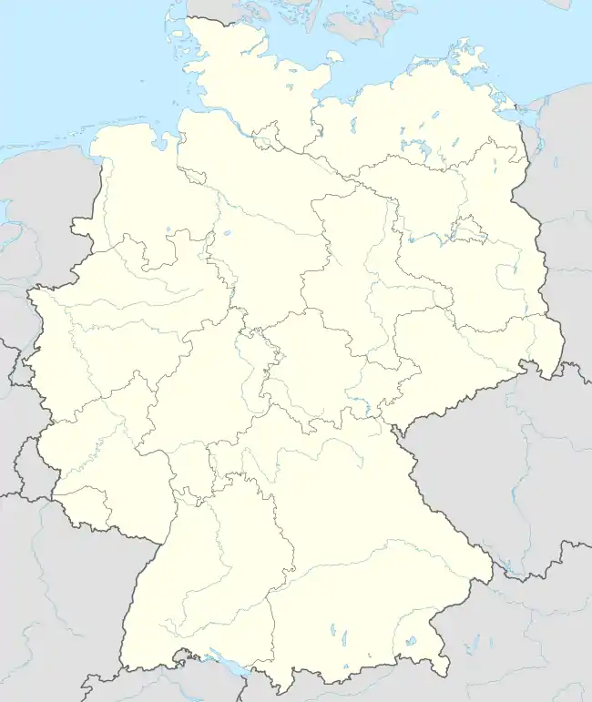
| Country | Germany |
| State | Mecklenburg-Vorpommern |
| District | Ludwigslust-Parchim |
| Municipal assoc. | Parchimer Umland |
| Government | |
| • Mayor | Wolfgang Hilpert |
| Area | |
| • Total | 46.64 km2 (18.01 sq mi) |
| Elevation | 41 m (135 ft) |
| Population (2021-12-31)[1] | |
| • Total | 1,370 |
| • Density | 29/km2 (76/sq mi) |
| Time zone | UTC+01:00 (CET) |
| • Summer (DST) | UTC+02:00 (CEST) |
| Postal codes | 19372, 19374 |
| Dialling codes | 038722 |
| Vehicle registration | PCH |
| Website | www.amt-parchimer-umland.de |
Lewitzrand is a municipality in the Ludwigslust-Parchim district, in Mecklenburg-Vorpommern, Germany. It was created on 7 June 2009 by the merger of the former municipalities Matzlow-Garwitz, Raduhn and Klinken.
Districts
The municipality of Lewitzrand consists of five districts:[2]
References
- ↑ "Bevölkerungsstand der Kreise, Ämter und Gemeinden 2021" (XLS) (in German). Statistisches Amt Mecklenburg-Vorpommern. 2022.
- ↑ "Lewitzrand". Amt Parchimer Umland (in German). Retrieved 2023-05-26.
This article is issued from Wikipedia. The text is licensed under Creative Commons - Attribution - Sharealike. Additional terms may apply for the media files.