Lhohi | |
|---|---|
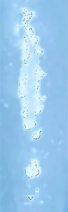 Lhohi Location in Maldives | |
| Coordinates: 05°48′50″N 73°22′39″E / 5.81389°N 73.37750°E | |
| Country | Maldives |
| Geographic atoll | Miladhummadulhu Atoll |
| Administrative atoll | Southern Miladhunmadulu |
| Distance to Malé | 181.79 km (112.96 mi) |
| Dimensions | |
| • Length | 0.980 km (0.609 mi) |
| • Width | 0.500 km (0.311 mi) |
| Population (2014)[1] | |
| • Total | 615 (including foreigners) |
| Time zone | UTC+05:00 (MST) |
Lhohi (Dhivehi: ޅޮހި) is one of the islands of Noonu Atoll in the Maldives with a population of around 900 people.
History
On Lhohi, there is a place called "hanguraama fasgandu" where the Portuguese and Maldivians fought.
Geography
The island is 181.79 km (113 mi; 98 nmi) north of the country's capital, Malé.[2] Lhohi is located near Manadhoo, the capital of Noonu atoll. Manadhoo, Miladhoo and Magoodhoo are the nearest populated islands. The nearest island is a small island called Ganbilivaadhoo.
Demography
| Year | Pop. | ±% |
|---|---|---|
| 2006 | 552 | — |
| 2014 | 576 | +4.3% |
| 2006-2014: Census populations Source: [3] | ||
References
- ↑ "Table PP5: Resident Population by sex, nationality and locality (administrative islands), 2014" (PDF). Population and Households Census 2014. National Bureau of Statistics. p. 33. Retrieved 10 August 2018.
- ↑ "Coordinate Distance Calculator". Boulter.com. Retrieved 10 August 2018.
- ↑ "Table 3.3: Total Maldivian Population by Islands" (PDF). National Bureau of Statistics. Retrieved 10 August 2018.
This article is issued from Wikipedia. The text is licensed under Creative Commons - Attribution - Sharealike. Additional terms may apply for the media files.