| Little High Rock Mountains | |
|---|---|
| Highest point | |
| Elevation | 2,080 m (6,820 ft) |
| Geography | |
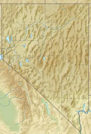
| Country | United States |
| State | Nevada |
| District | Washoe County |
| Range coordinates | 41°18′13.627″N 119°29′1.710″W / 41.30378528°N 119.48380833°W |
| Topo map | USGS Mahogany Mountain |
The Little High Rock Mountains is a mountain range in Washoe County, Nevada.[1]
References

This article is issued from Wikipedia. The text is licensed under Creative Commons - Attribution - Sharealike. Additional terms may apply for the media files.