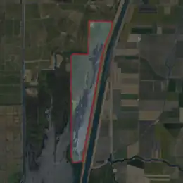
 USGS aerial imagery of Little Holland Tract | |
 Little Holland Tract  Little Holland Tract  Little Holland Tract | |
| Geography | |
|---|---|
| Location | Northern California |
| Coordinates | 38°19′27″N 121°39′20″W / 38.32417°N 121.65556°W[1] |
| Adjacent to | Sacramento–San Joaquin River Delta |
| Highest elevation | 13 ft (4 m)[1] |
| Administration | |
United States | |
| State | |
| County | Yolo |
The Little Holland Tract is a partially submerged island in the Sacramento–San Joaquin River Delta, in Yolo County, California.[2] Its coordinates are 38°19′27″N 121°39′20″W / 38.32417°N 121.65556°W[1], and the United States Geological Survey gave its elevation as 13 ft (4.0 m) in 1981.[1] It appears on a 1952 USGS map as a large rectangular tract; by 1978, survey maps show it cut diagonally by the Sacramento River Deep Water Ship Channel.[3][4]
References
- 1 2 3 4 U.S. Geological Survey Geographic Names Information System: Little Holland Tract
- ↑ "More islands submerged in Delta floods". North East Bay Independent and Gazette. Berkeley, California. 1980-02-22. p. 1.
- ↑ United States Geological Survey (1952). "Liberty Island Quadrangle, California" (Map). United States Department of the Interior Geological Survey. 1:24000.
- ↑ United States Geological Survey (1978). "Liberty Island Quadrangle, California" (Map). United States Department of the Interior Geological Survey. 1:24000.
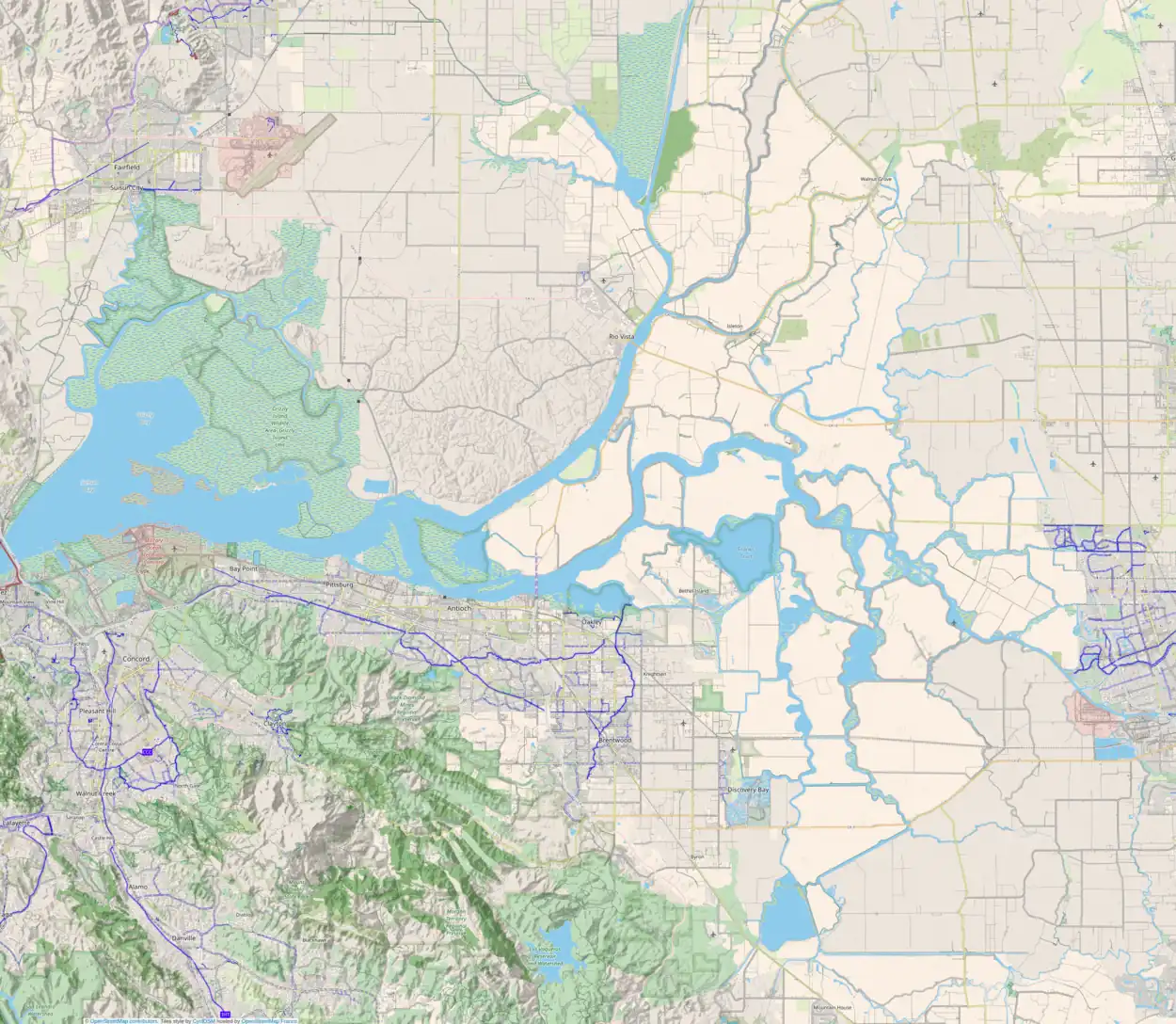
Map: Islands of Suisun Bay and the Sacramento–San Joaquin River Delta | |
|---|---|
(islands of the San Francisco Bay Area) |

This article is issued from Wikipedia. The text is licensed under Creative Commons - Attribution - Sharealike. Additional terms may apply for the media files.