Mehltheuer | |
|---|---|
 Post office in Mehltheuer | |
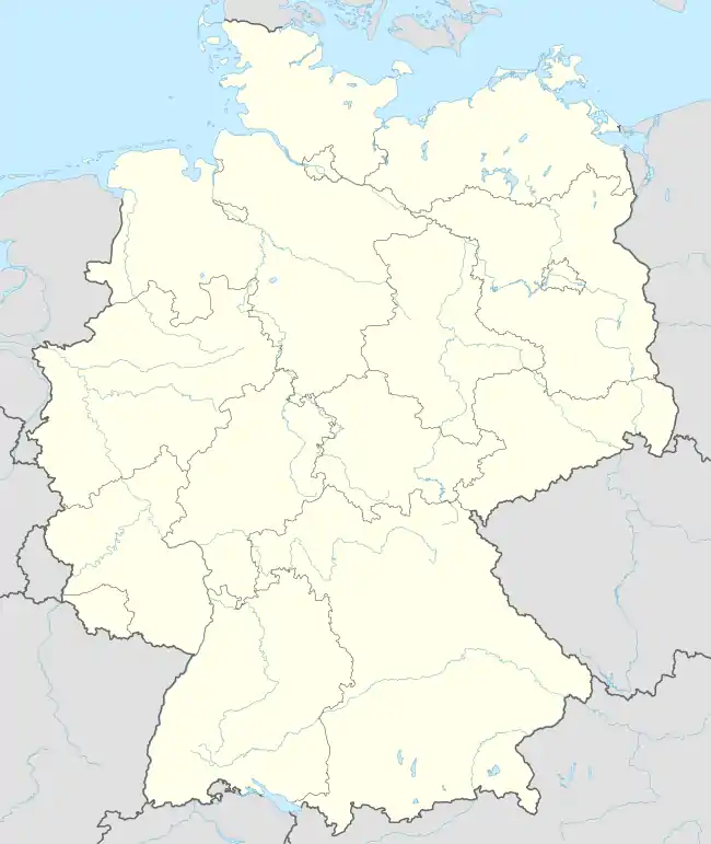
Location of Mehltheuer | |
 Mehltheuer  Mehltheuer | |
| Coordinates: 50°32′40″N 12°2′20″E / 50.54444°N 12.03889°E | |
| Country | Germany |
| State | Saxony |
| District | Vogtlandkreis |
| Municipality | Rosenbach |
| Area | |
| • Total | 22.09 km2 (8.53 sq mi) |
| Elevation | 512 m (1,680 ft) |
| Population (2009-12-31) | |
| • Total | 1,478 |
| • Density | 67/km2 (170/sq mi) |
| Time zone | UTC+01:00 (CET) |
| • Summer (DST) | UTC+02:00 (CEST) |
| Postal codes | 08539 |
| Dialling codes | 037431 |
| Vehicle registration | V |
| Website | www.mehltheuer.de |
Mehltheuer is a village and a former municipality in the Vogtlandkreis district, in Saxony, Germany. Since 1 January 2011, it is part of the municipality Rosenbach.[1]
During World War II, Germany operated a subcamp of the Flossenbürg concentration camp in the village, in which over 300 Jewish women from German-occupied Poland and Hungary were imprisoned as forced labour.[2] The prisoners were liberated by American troops in 1945.[2]
There is a train station in the village.
References
- ↑ Gebietsänderungen vom 01. Januar bis 31. Dezember 2011, Statistisches Bundesamt
- 1 2 "Mehltheuer Subcamp". KZ-Gedenkstätte Flossenbürg. Retrieved 3 April 2021.
This article is issued from Wikipedia. The text is licensed under Creative Commons - Attribution - Sharealike. Additional terms may apply for the media files.