| More | |
|---|---|
 St. Peter's Church, More | |
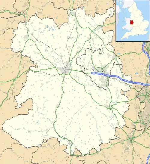 More Location within Shropshire | |
| Population | 121 (2011)[1] |
| OS grid reference | SO342914 |
| Civil parish |
|
| Unitary authority | |
| Ceremonial county | |
| Region | |
| Country | England |
| Sovereign state | United Kingdom |
| Post town | Bishops Castle |
| Postcode district | SY9 |
| Dialling code | 01588 |
| Police | West Mercia |
| Fire | Shropshire |
| Ambulance | West Midlands |
| UK Parliament | |
More is a small village and civil parish in Shropshire, England.
It lies near the border with Wales and the nearest town is Bishop's Castle.
There is a parish church in the village. The civil parish extends greatly to the north of the village, encompassing a large tract of rural upland, and includes the community of Linley.[2]
Nearby is the larger settlement of Lydham, which is outside the civil parish and on the A488 road.
See also
References
Wikimedia Commons has media related to More, Shropshire.
- ↑ "Civil Parish population 2011". Retrieved 22 November 2015.
- ↑ Ordnance Survey mapping
This article is issued from Wikipedia. The text is licensed under Creative Commons - Attribution - Sharealike. Additional terms may apply for the media files.