| Naafkopf | |
|---|---|
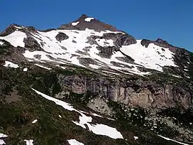 From East | |
| Highest point | |
| Elevation | 2,570 m (8,430 ft) |
| Prominence | 223 m (732 ft)[1] |
| Parent peak | Grauspitz |
| Isolation | 1.62 km (1.01 mi) |
| Coordinates | 47°03′38.54″N 9°36′25.75″E / 47.0607056°N 9.6071528°E |
| Geography | |
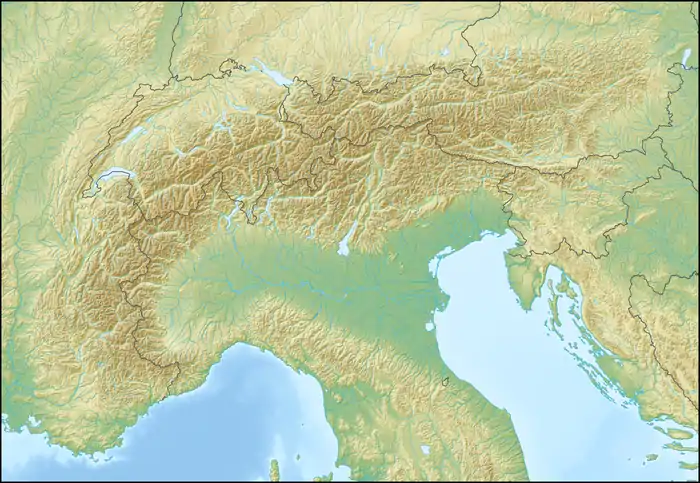 Naafkopf Location in the Alps | |
| Location | Graubünden, Switzerland Vorarlberg, Austria Schaan, Liechtenstein |
| Parent range | Rätikon |
The Naafkopf is a mountain in the Rätikon range of the Alps, located at the border between Austria, Liechtenstein and Switzerland.[2] The summit tripoint is marked with a large wooden cross supported on a brick base extending in three directions.
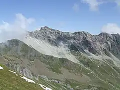
Naafkopf and the ridge above Ijes
References
- ↑ Retrieved from the Swisstopo topographic maps. The key col is the Ijesfürggli (2,348 m).
- ↑ "Naafkopf : Climbing, Hiking & Mountaineering : SummitPost". www.summitpost.org. Retrieved 2020-08-29.
External links
This article is issued from Wikipedia. The text is licensed under Creative Commons - Attribution - Sharealike. Additional terms may apply for the media files.