Nandlstadt | |
|---|---|
 Church of Saint Martin | |
 Coat of arms | |
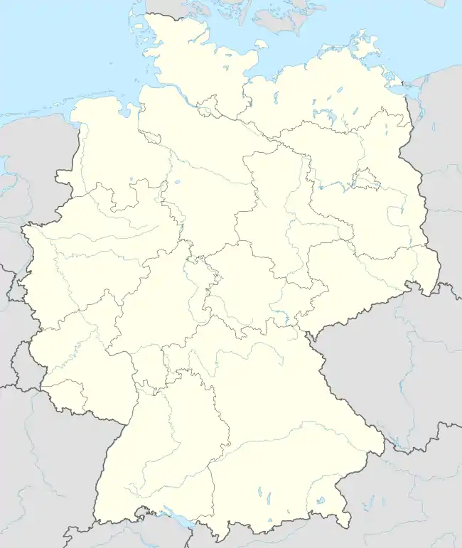
Location of Nandlstadt within Freising district  | |
 Nandlstadt  Nandlstadt | |
| Coordinates: 48°32′N 11°48′E / 48.533°N 11.800°E | |
| Country | Germany |
| State | Bavaria |
| Admin. region | Oberbayern |
| District | Freising |
| Government | |
| • Mayor (2020–26) | Gerhard Betz[1] |
| Area | |
| • Total | 34.31 km2 (13.25 sq mi) |
| Elevation | 465 m (1,526 ft) |
| Population (2022-12-31)[2] | |
| • Total | 5,587 |
| • Density | 160/km2 (420/sq mi) |
| Time zone | UTC+01:00 (CET) |
| • Summer (DST) | UTC+02:00 (CEST) |
| Postal codes | 85405 |
| Dialling codes | 08756 |
| Vehicle registration | FS |
| Website | www.markt-nandlstadt.de |
Nandlstadt is a municipality in the district of Freising in Bavaria in Germany. Nandlstadt is said to be the oldest hop-growing area in the world, having grown them since the year 860. The town lies in a triangle between Freising, Moosburg and Mainburg.
References
- ↑ Liste der ersten Bürgermeister/Oberbürgermeister in kreisangehörigen Gemeinden, Bayerisches Landesamt für Statistik, 15 July 2021.
- ↑ Genesis Online-Datenbank des Bayerischen Landesamtes für Statistik Tabelle 12411-003r Fortschreibung des Bevölkerungsstandes: Gemeinden, Stichtag (Einwohnerzahlen auf Grundlage des Zensus 2011)
Towns and municipalities in Freising (district) | ||
|---|---|---|
Coat of Arms of Freising district | ||
This article is issued from Wikipedia. The text is licensed under Creative Commons - Attribution - Sharealike. Additional terms may apply for the media files.