Oberndorf | |
|---|---|
Part of Rottenburg am Neckar | |
.svg.png.webp) Coat of arms | |
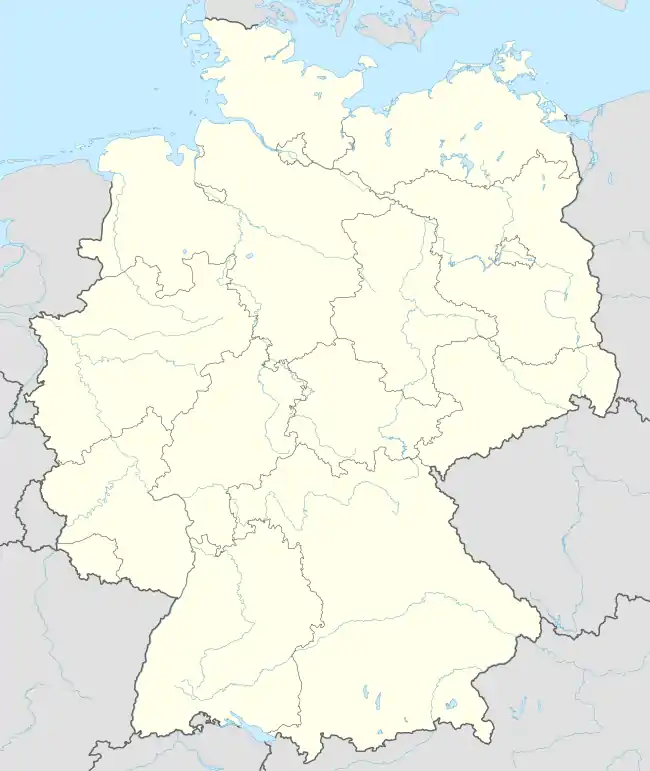
Location of Oberndorf (Rottenburg) | |
 Oberndorf  Oberndorf | |
| Coordinates: 48°31′35″N 08°55′48″E / 48.52639°N 8.93000°E | |
| Country | Germany |
| State | Baden-Württemberg |
| Admin. region | Tübingen |
| District | Tübingen |
| Town | Rottenburg am Neckar |
| Government | |
| • Local representative | Karl Schneck |
| Area | |
| • Total | 6.14 km2 (2.37 sq mi) |
| Highest elevation | 485 m (1,591 ft) |
| Lowest elevation | 280 m (920 ft) |
| Population (2018)[1] | |
| • Total | 1,492 |
| • Density | 240/km2 (630/sq mi) |
| Time zone | UTC+01:00 (CET) |
| • Summer (DST) | UTC+02:00 (CEST) |
| Postal codes | 72108 |
| Dialling codes | (+49) 07073 |
| Vehicle registration | TÜ |
| Website | www.rottenburg.de |
Oberndorf (German: [ˈoːbɐnˌdɔʁf] ⓘ) is a suburban district of Rottenburg am Neckar in the administrative district of Tübingen in Baden-Württemberg (Germany).
Geography
Oberndorf is located 6 km (3.7 mi) northern from Rottenburg, 10 km (6.2 mi) western from Tübingen and 14 km (8.7 mi) southeastern from Herrenberg.
Extent
Oberdorf has a territory of 614 hectares. Thereof fall 70.1% upon agriculturally used area, 15.7% upon forest area, 13.7% upon settlement area and roads, 0.2% upon water expanse and 0.3% upon other.
Population
1466 people live in Oberndorf (31/01/08). It is one of the larger suburbs of Rottenburg. At an area of 6.14 km2 (2.4 sq mi) this corresponds to a population density of 239 people per km2, or 618 per sq mi.
Faiths
The population is predominantly Roman Catholic.
References
- ↑ "Oberndorf - Daten". Stadtverwaltung Rottenburg. Retrieved 24 September 2021.
External links
- Official website (in German)
Suburban districts of Rottenburg am Neckar | ||
|---|---|---|
Coat of arms of Rottenburg am Neckar | ||