Olšany u Prostějova | |
|---|---|
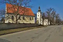 Church of Saint John the Baptist | |
 Flag  Coat of arms | |
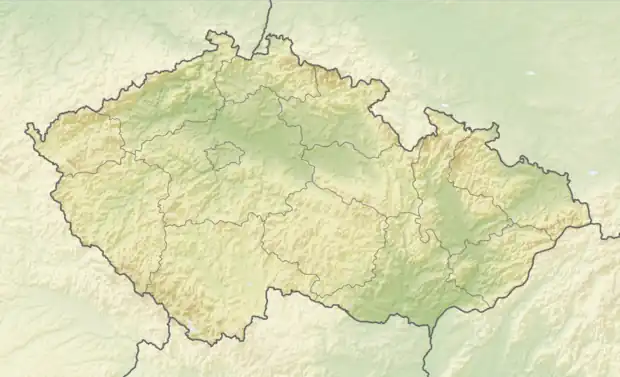 Olšany u Prostějova Location in the Czech Republic | |
| Coordinates: 49°32′11″N 17°9′53″E / 49.53639°N 17.16472°E | |
| Country | |
| Region | Olomouc |
| District | Prostějov |
| First mentioned | 1141 |
| Area | |
| • Total | 11.04 km2 (4.26 sq mi) |
| Elevation | 217 m (712 ft) |
| Population (2023-01-01)[1] | |
| • Total | 1,839 |
| • Density | 170/km2 (430/sq mi) |
| Time zone | UTC+1 (CET) |
| • Summer (DST) | UTC+2 (CEST) |
| Postal code | 798 14 |
| Website | www |
Olšany u Prostějova is a municipality and village in Prostějov District in the Olomouc Region of the Czech Republic. It has about 1,800 inhabitants.
Olšany u Prostějova lies approximately 8 kilometres (5 mi) north-east of Prostějov, 10 km (6 mi) south-west of Olomouc, and 206 km (128 mi) east of Prague.
Administrative parts
The village of Hablov is an administrative part of Olšany u Prostějova.
History
The first written mention of Olšany u Prostějova is in a deed of bishop Jindřich Zdík from 1141.[2]
References
- ↑ "Population of Municipalities – 1 January 2023". Czech Statistical Office. 2023-05-23.
- ↑ "Historie obce" (in Czech). Obec Olšany u Prostějova. Retrieved 2022-02-02.
Wikimedia Commons has media related to Olšany u Prostějova.
This article is issued from Wikipedia. The text is licensed under Creative Commons - Attribution - Sharealike. Additional terms may apply for the media files.