Pailón | |
|---|---|
Town | |
.jpg.webp) Bridge over Río Grande between Pailón and Puerto Pailas | |
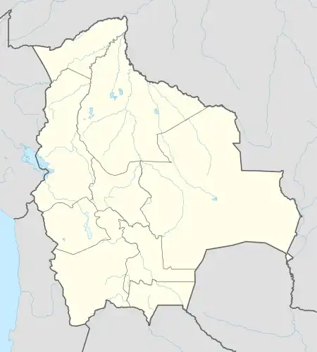 Pailón Location within Bolivia | |
| Coordinates: 17°39′34″S 62°43′11″W / 17.65944°S 62.71972°W | |
| Country | |
| Department | |
| Province | Chiquitos |
| Municipality | Pailón |
| Area | |
| • Total | 10.155 km2 (3.921 sq mi) |
| Elevation | 291 m (955 ft) |
| Population | |
| • Total | 9,850 |
| Census 2012 | |
| Time zone | UTC-4 (BOT) |
| Area code | (+591) |
Pailón is a small town in Bolivia. It is in the second municipal section of Chiquitos Province and is 51 kilometres (32 mi) east of the city Santa Cruz de la Sierra.
References
- ↑ "National Statistics Institute. General Population Estimates". www.ine.gob.bo. Archived from the original on 2011-08-24. Retrieved 2011-09-08.
17°39′34″S 62°43′11″W / 17.6594°S 62.7197°W
This article is issued from Wikipedia. The text is licensed under Creative Commons - Attribution - Sharealike. Additional terms may apply for the media files.