Pazaryolu | |
|---|---|
District and municipality | |
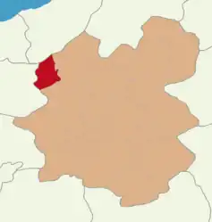 Map showing Pazaryolu District in Erzurum Province | |
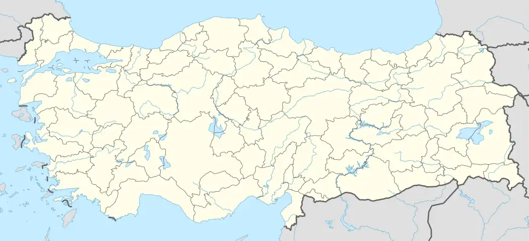 Pazaryolu Location in Turkey | |
| Coordinates: 40°24′59″N 40°46′16″E / 40.41639°N 40.77111°E | |
| Country | Turkey |
| Province | Erzurum |
| Government | |
| • Mayor | İbrahim Şahin (AKP) |
| Area | 654 km2 (253 sq mi) |
| Population (2022)[1] | 3,803 |
| • Density | 5.8/km2 (15/sq mi) |
| Time zone | TRT (UTC+3) |
| Postal code | 25930 |
| Area code | 0442 |
| Climate | Dfb |
| Website | www |
Pazaryolu is a municipality and district of Erzurum Province, Turkey.[2] Its area is 654 km2,[3] and its population is 3,803 (2022).[1] The mayor is İbrahim Şahin (AKP).
Composition
There are 44 neighbourhoods in Pazaryolu District:[4]
- 21 Haziran
- Akbulut
- Alıçlı
- Ambaralan
- Ayçukuru
- Bayındır
- Burçaklı
- Büyükdere
- Çatakbahçe
- Çaydere
- Cenetpınarı
- Cevizlidere
- Çiftepınar
- Deliktaş
- Demirgöze
- Dikmetaş
- Esenyurt
- Gölyanı
- Göztepe
- Gülçimen
- Güneysu
- Hacılar
- Karakoç
- Karataş
- Kılıççı
- Konakyeri
- Korkutköy
- Köşeyolu
- Kozlu
- Kumaşkaya
- Kümbettepe
- Kuymaklı
- Laleli
- Merkez
- Meşebaşı
- Pamukludağ
- Sadaka
- Şehitlik
- Sergenkaya
- Süleymanbağı
- Yaylalı
- Yaylaözü
- Yeni
- Yiğitbaşı
References
- 1 2 "Address-based population registration system (ADNKS) results dated 31 December 2022, Favorite Reports" (XLS). TÜİK. Retrieved 12 July 2023.
- ↑ Büyükşehir İlçe Belediyesi, Turkey Civil Administration Departments Inventory. Retrieved 12 July 2023.
- ↑ "İl ve İlçe Yüz ölçümleri". General Directorate of Mapping. Retrieved 12 July 2023.
- ↑ Mahalle, Turkey Civil Administration Departments Inventory. Retrieved 12 July 2023.
Pazaryolu in Erzurum Province of Turkey | |||||||||||||||||||||||||||
|---|---|---|---|---|---|---|---|---|---|---|---|---|---|---|---|---|---|---|---|---|---|---|---|---|---|---|---|
| Districts |  Districts of Erzurum | ||||||||||||||||||||||||||
| |||||||||||||||||||||||||||
Metropolitan municipalities are bolded. | |||||||||||||||||||||||||||
This article is issued from Wikipedia. The text is licensed under Creative Commons - Attribution - Sharealike. Additional terms may apply for the media files.