Phanda | |
|---|---|
Village | |
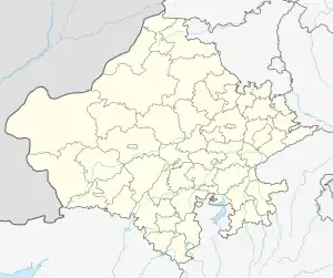 Phanda Location in Rajasthan, India  Phanda Phanda (India) | |
| Coordinates: 24°31′N 73°43′E / 24.52°N 73.72°E | |
| Country | |
| State | Rajasthan |
| District | Udaipur |
| Area | |
| • Total | 2.3854 km2 (0.9210 sq mi) |
| Population (2011) | |
| • Total | 1,005 |
| • Density | 420/km2 (1,100/sq mi) |
| Languages | |
| • Official | Hindi, Mewari |
| Time zone | UTC+5:30 (IST) |
| PIN | 313002 |
| Vehicle registration | RJ-27 |
| Nearest city | Udaipur |
| Lok Sabha constituency | Udaipur |
Phanda is a village in Udaipur district in the Indian state of Rajasthan. It is located 10 km towards South from District headquarters Udaipur.[1] As per Population Census 2011, the total population of Phanda is 1005.
References
- ↑ "District Census Handbook" (PDF). censusindia.gov.in.
This article is issued from Wikipedia. The text is licensed under Creative Commons - Attribution - Sharealike. Additional terms may apply for the media files.