Podmolí | |
|---|---|
 Chapel of Our Lady of Sorrows | |
 Flag  Coat of arms | |
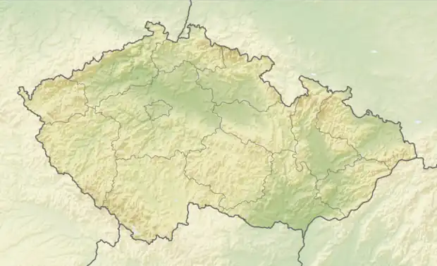 Podmolí Location in the Czech Republic | |
| Coordinates: 48°51′2″N 15°56′24″E / 48.85056°N 15.94000°E | |
| Country | |
| Region | South Moravian |
| District | Znojmo |
| First mentioned | 1433 |
| Area | |
| • Total | 13.83 km2 (5.34 sq mi) |
| Elevation | 402 m (1,319 ft) |
| Population (2023-01-01)[1] | |
| • Total | 166 |
| • Density | 12/km2 (31/sq mi) |
| Time zone | UTC+1 (CET) |
| • Summer (DST) | UTC+2 (CEST) |
| Postal code | 669 02 |
| Website | www |
Podmolí is a municipality and village in Znojmo District in the South Moravian Region of the Czech Republic. It has about 200 inhabitants.
Podmolí lies approximately 7 kilometres (4 mi) west of Znojmo, 64 km (40 mi) south-west of Brno, and 178 km (111 mi) south-east of Prague.
References
Wikimedia Commons has media related to Podmolí.
This article is issued from Wikipedia. The text is licensed under Creative Commons - Attribution - Sharealike. Additional terms may apply for the media files.