Pruillé | |
|---|---|
Part of Longuenée-en-Anjou | |
Location of Pruillé | |
 Pruillé 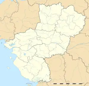 Pruillé | |
| Coordinates: 47°34′42″N 0°39′40″W / 47.5783°N 0.6611°W | |
| Country | France |
| Region | Pays de la Loire |
| Department | Maine-et-Loire |
| Arrondissement | Angers |
| Canton | Tiercé |
| Commune | Longuenée-en-Anjou |
| Area 1 | 12.68 km2 (4.90 sq mi) |
| Population (2019)[1] | 718 |
| • Density | 57/km2 (150/sq mi) |
| Demonym(s) | Pruilléen, Pruilléenne |
| Time zone | UTC+01:00 (CET) |
| • Summer (DST) | UTC+02:00 (CEST) |
| Postal code | 49220 |
| Elevation | 12–83 m (39–272 ft) (avg. 60 m or 200 ft) |
| 1 French Land Register data, which excludes lakes, ponds, glaciers > 1 km2 (0.386 sq mi or 247 acres) and river estuaries. | |
Pruillé (French pronunciation: [pʁɥije] ⓘ) is a former commune in the Maine-et-Loire department in western France. On 1 January 2016, it was merged into the new commune of Longuenée-en-Anjou.[2]
See also
References
Wikimedia Commons has media related to Pruillé.
This article is issued from Wikipedia. The text is licensed under Creative Commons - Attribution - Sharealike. Additional terms may apply for the media files.