Raschau-Markersbach | |
|---|---|
Location of Raschau-Markersbach within Erzgebirgskreis district 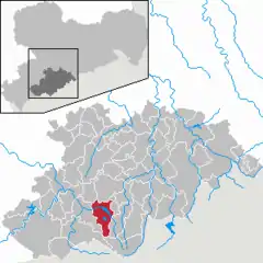 | |
 Raschau-Markersbach  Raschau-Markersbach | |
| Coordinates: 50°31′56″N 12°52′17″E / 50.53222°N 12.87139°E | |
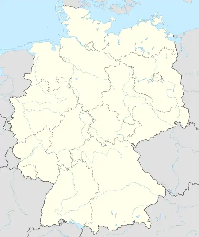
| Country | Germany |
| State | Saxony |
| District | Erzgebirgskreis |
| Government | |
| • Mayor (2022–29) | Frank Tröger[1] |
| Area | |
| • Total | 39.52 km2 (15.26 sq mi) |
| Highest elevation | 830 m (2,720 ft) |
| Lowest elevation | 420 m (1,380 ft) |
| Population (2021-12-31)[2] | |
| • Total | 4,895 |
| • Density | 120/km2 (320/sq mi) |
| Time zone | UTC+01:00 (CET) |
| • Summer (DST) | UTC+02:00 (CEST) |
| Postal codes | 08352 |
| Dialling codes | 03774 |
| Vehicle registration | ERZ, ANA, ASZ, AU, MAB, MEK, STL, SZB, ZP |
| Website | www.markersbach.de |
Raschau-Markersbach is a municipality in the district of Erzgebirgskreis in Saxony, Germany. It was formed on 1 January 2008, by the merger of the former municipalities Markersbach and Raschau.[3]
Gallery
.jpg.webp) Ruins of the lime plant
Ruins of the lime plant
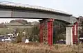 Looking through the bridge under construction of the bypass stream marker (B101) on the marker Bacher Viaduct
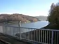 Pumped storage plant markers (Bach Dam)
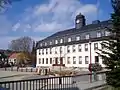 Elementary school

References
- ↑ Gewählte Bürgermeisterinnen und Bürgermeister im Freistaat Sachsen, Stand: 17. Juli 2022, Statistisches Landesamt des Freistaates Sachsen.
- ↑ "Bevölkerung des Freistaates Sachsen nach Gemeinden am 31. Dezember 2021" (XLS) (in German). Statistisches Landesamt des Freistaates Sachsen. 2022.
- ↑ Gebietsänderungen vom 01.01. bis 31.12.2008, Statistisches Bundesamt
Wikimedia Commons has media related to Raschau-Markersbach.
This article is issued from Wikipedia. The text is licensed under Creative Commons - Attribution - Sharealike. Additional terms may apply for the media files.