Sagara
相良村 | |
|---|---|
Village | |
 Flag  Seal | |
 Location of Sagara in Kumamoto Prefecture | |
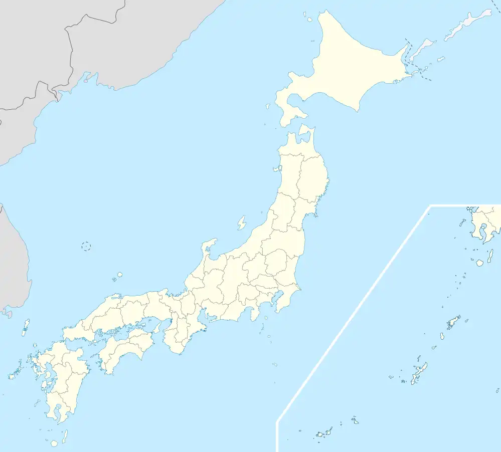 Sagara Location in Japan | |
| Coordinates: 32°15′N 130°48′E / 32.250°N 130.800°E | |
| Country | Japan |
| Region | Kyushu |
| Prefecture | Kumamoto Prefecture |
| District | Kuma |
| Area | |
| • Total | 94.54 km2 (36.50 sq mi) |
| Population (March 31, 2017) | |
| • Total | 4,598 |
| • Density | 49/km2 (130/sq mi) |
| Time zone | UTC+09:00 (JST) |
| Website | www |
Sagara (相良村, Sagara-mura) is a village located in Kuma District, Kumamoto Prefecture, Japan.
As of March 2017, the village has an estimated population of 4,598[1] and a population density of 49 persons per km². The total area is 94.54 km².
References
- ↑ "Official website of Sagara Village" (in Japanese). Japan: Sagara Village. Retrieved 1 May 2017.
External links
 Media related to Sagara, Kumamoto at Wikimedia Commons
- Sagara official website (in Japanese)
This article is issued from Wikipedia. The text is licensed under Creative Commons - Attribution - Sharealike. Additional terms may apply for the media files.