Saint-Barnabé
Sant-Barnev | |
|---|---|
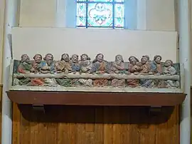 The Last Supper, in the church of Saint-Barnabé | |
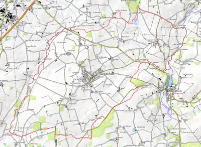
Location of Saint-Barnabé | |
 Saint-Barnabé  Saint-Barnabé | |
| Coordinates: 48°08′18″N 2°42′05″W / 48.1383°N 2.7014°W | |
| Country | France |
| Region | Brittany |
| Department | Côtes-d'Armor |
| Arrondissement | Saint-Brieuc |
| Canton | Loudéac |
| Intercommunality | Loudéac Communauté - Bretagne Centre |
| Government | |
| • Mayor (2020–2026) | Georges Le Franc[1] |
| Area 1 | 22.75 km2 (8.78 sq mi) |
| Population | 1,214 |
| • Density | 53/km2 (140/sq mi) |
| Time zone | UTC+01:00 (CET) |
| • Summer (DST) | UTC+02:00 (CEST) |
| INSEE/Postal code | 22275 /22600 |
| Elevation | 72–173 m (236–568 ft) |
| 1 French Land Register data, which excludes lakes, ponds, glaciers > 1 km2 (0.386 sq mi or 247 acres) and river estuaries. | |
Saint-Barnabé (French pronunciation: [sɛ̃ baʁnabe]; Breton: Sant-Barnev) is a commune in the Côtes-d'Armor department of Brittany in northwestern France.
Population
Inhabitants of Saint-Barnabé are called barnabéens in French.
Map
See also
References
- ↑ "Répertoire national des élus: les maires". data.gouv.fr, Plateforme ouverte des données publiques françaises (in French). 2 December 2020.
- ↑ "Populations légales 2021". The National Institute of Statistics and Economic Studies. 28 December 2023.
External links
Wikimedia Commons has media related to Saint-Barnabé (Côtes-d'Armor).
- Base Mérimée: Search for heritage in the commune, Ministère français de la Culture. (in French)
This article is issued from Wikipedia. The text is licensed under Creative Commons - Attribution - Sharealike. Additional terms may apply for the media files.