Saint-Pierre-de-Varennes | |
|---|---|
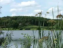 Brandon Pond | |
.svg.png.webp) Coat of arms | |
Location of Saint-Pierre-de-Varennes | |
 Saint-Pierre-de-Varennes  Saint-Pierre-de-Varennes | |
| Coordinates: 46°50′32″N 4°29′58″E / 46.8422°N 4.4994°E | |
| Country | France |
| Region | Bourgogne-Franche-Comté |
| Department | Saône-et-Loire |
| Arrondissement | Autun |
| Canton | Le Creusot-2 |
| Intercommunality | CU Creusot Montceau |
| Area 1 | 23.08 km2 (8.91 sq mi) |
| Population | 839 |
| • Density | 36/km2 (94/sq mi) |
| Time zone | UTC+01:00 (CET) |
| • Summer (DST) | UTC+02:00 (CEST) |
| INSEE/Postal code | 71468 /71670 |
| Elevation | 285–490 m (935–1,608 ft) (avg. 450 m or 1,480 ft) |
| 1 French Land Register data, which excludes lakes, ponds, glaciers > 1 km2 (0.386 sq mi or 247 acres) and river estuaries. | |
Saint-Pierre-de-Varennes (French pronunciation: [sɛ̃ pjɛʁ də vaʁɛn]) is a commune in the Saône-et-Loire department in the region of Bourgogne-Franche-Comté in eastern France.
See also
References
- ↑ "Populations légales 2021". The National Institute of Statistics and Economic Studies. 28 December 2023.
Wikimedia Commons has media related to Saint-Pierre-de-Varennes.
This article is issued from Wikipedia. The text is licensed under Creative Commons - Attribution - Sharealike. Additional terms may apply for the media files.