Salačova Lhota | |
|---|---|
.jpg.webp) Chapel | |
 Flag  Coat of arms | |
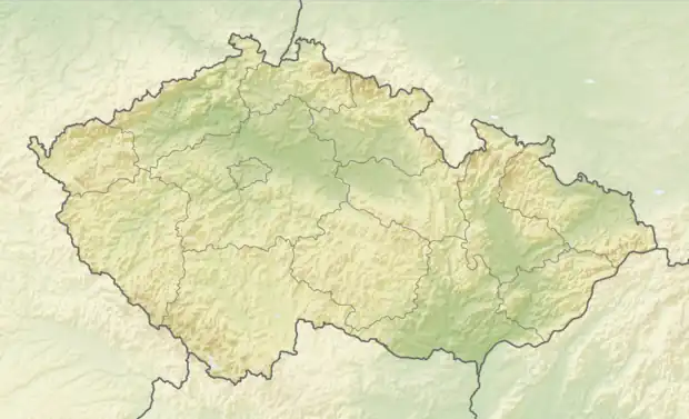 Salačova Lhota Location in the Czech Republic | |
| Coordinates: 49°31′27″N 14°58′49″E / 49.52417°N 14.98028°E | |
| Country | |
| Region | Vysočina |
| District | Pelhřimov |
| First mentioned | 1407 |
| Area | |
| • Total | 5.98 km2 (2.31 sq mi) |
| Elevation | 573 m (1,880 ft) |
| Population (2023-01-01)[1] | |
| • Total | 132 |
| • Density | 22/km2 (57/sq mi) |
| Time zone | UTC+1 (CET) |
| • Summer (DST) | UTC+2 (CEST) |
| Postal code | 395 01 |
| Website | www |
Salačova Lhota is a municipality and village in Pelhřimov District in the Vysočina Region of the Czech Republic. It has about 100 inhabitants.
Salačova Lhota lies approximately 21 kilometres (13 mi) north-west of Pelhřimov, 47 km (29 mi) west of Jihlava, and 75 km (47 mi) south-east of Prague.
Administrative parts
Villages of Malá Černá and Velká Černá are administrative parts of Salačova Lhota.
Gallery
 Centre of Salačova Lhota
 Houses in Salačova Lhota
 The village of Velká Černá
References
Wikimedia Commons has media related to Salačova Lhota.
This article is issued from Wikipedia. The text is licensed under Creative Commons - Attribution - Sharealike. Additional terms may apply for the media files.